


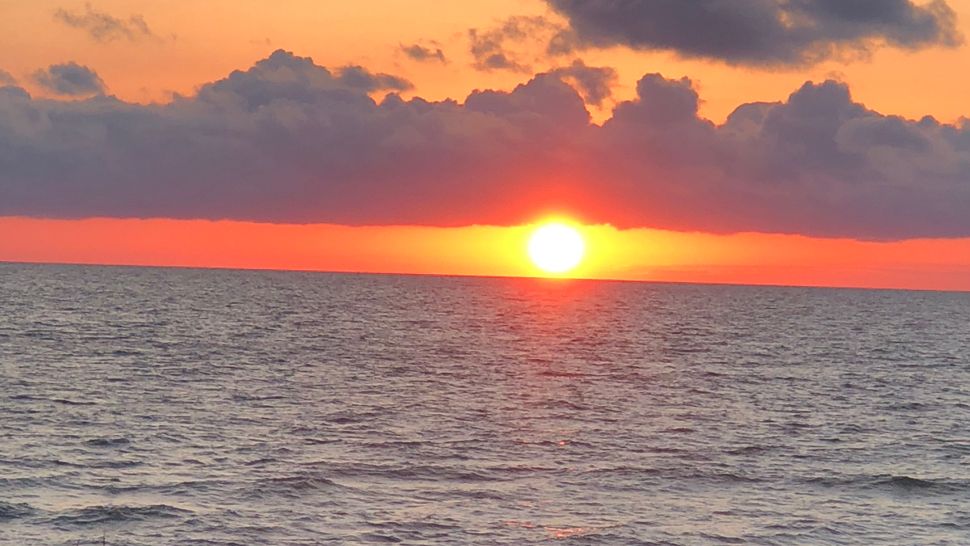
Here's your Tampa area weather forecast for late Thursday into Friday morning, with a look at conditions through next week.
- Friday front
- Few showers
- Nice weekend
Skies will be partly cloudy into early Friday with milder conditions and an onshore breeze. Lows will not be as cool as they have been the past few mornings, with most spots near the mid 60s.
A front is on the way for Friday. There will be more clouds around, but the chance of a shower is small — only at about 30 percent due to the lack of moisture when the front moves through.
The main impact from this front will be yet another reinforcing shot of drier, less humid air headed into the weekend.
Highs will be in the low 80s with any showers passing through quickly and drier air moving in for Friday night.
Lows will be in the 60s and 50s for Saturday morning with clearing skies.
- Klystron 9 | 7-Day forecast | Tampa Bay-area temperatures | Travel weather
- WEATHER ON THE GO: Download the Spectrum Bay News 9 app and get Klystron 9 alerts wherever you are.
- GET WEATHER ALERTS: Sign up to receive weather text alerts from Spectrum Bay News 9
Saturday will be gorgeous with a north breeze, low humidity, and highs in the low 80s. Enjoy it, because there is a big change coming next week that will finally show signs of summer just around the corner.
Saturday night will be perfect, with clear skies and lows in the 60s and 50s.
Sunday will be the beginning of a warmer trend into next week. The winds will shift and come from the east instead of the west. That will result in the warmest air piling up on our side of the state, instead of the cooling breeze from the Gulf.
Therefore, we’ll see highs in the mid 80s Sunday and upper 80s Monday and Tuesday. The humidity will still be low and way below summer levels, but the temperatures will definitely be warmer than we’ve seen in a long time.
The lows at night will still be comfortable in the 60s.
It looks like that warmer trend will take us right to the end of next week with highs in some spots approaching 90 by the end of next week.
View: Bay News 9 Interactive Radar
- LIVE interactive Klystron 9 map
- Custom Safety Net storm alerts
- LIVE interactive Real Time traffic
- Upload pictures to Bay News 9 from the app
The seven-day forecast
