


ST. PETERSBURG, Fla. -- Here's your Tampa area forecast for late Wednesday into Thursday morning, along with a look at the continuing rainy conditions through the weekend.
- Southwest breeze
- Storms drift inland
- Wet pattern next week
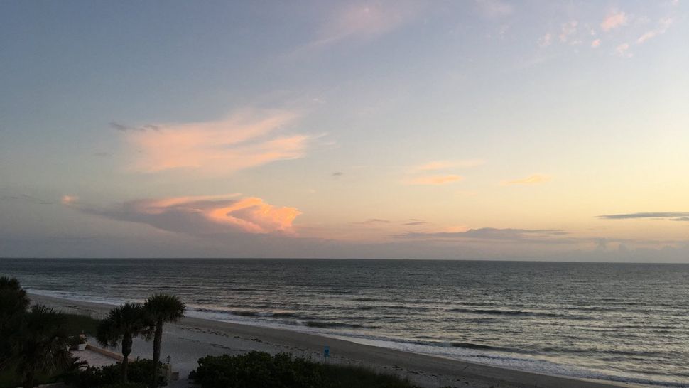
Skies will be partly cloudy overnight into early Thursday morning with some lingering scattered showers and storms.
The movement of any storms will be northeastward, with most of them dying down into the morning.
Lows will be in the low to mid 70s, not cooling down much due to a humid breeze off the gulf from the southwest.
Thursday will start with some clouds and a few showers in the area. Then it will be partly sunny with scattered showers and storms forming and moving northeastward, with most of the storms inland by the afternoon.
Highs will be in the mid 80s.
- Klystron 9 | 7-Day forecast | Tampa Bay-area temperatures | Travel weather
- WEATHER ON THE GO: Download the Spectrum Bay News 9 app and get Klystron 9 alerts wherever you are.
- GET WEATHER ALERTS: Sign up to receive weather text alerts from Spectrum Bay News 9
Friday will be feature a slightly lower rain chance down to 40 percent, but still the same pattern of scattered storms forming and propagating inland as the day goes along. Highs will be in the mid 80s.
The rain chance will remain at 40 percent into Saturday with the same pattern. Then moisture will increase and winds will shift, resulting in a higher rain chance coming back towards our side of the state Sunday afternoon and evening.
The rain chance will be back up to about 60 percent by next Monday and Tuesday.
Highs will go to the upper 80s Saturday, but come back down to the mid 80s Sunday through Tuesday.
View: Bay News 9 Interactive Radar
- LIVE interactive Klystron 9 map
- Custom Safety Net storm alerts
- LIVE interactive Real Time traffic
- Upload pictures to Bay News 9 from the app
The seven-day forecast
