


ST. PETERSBURG, Fla. -- Here's your Tampa area weather forecast for late Thursday into Friday morning, along with a closer look at conditions through the weekend.
- Monitoring the tropics
- Higher rain chances in general
- Forecast details still uncertain
We had more scattered storms today compared to yesterday, as expected. The coverage will continue to increase headed toward the weekend.
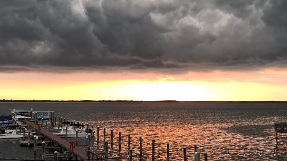
Partly cloudy skies will take us into early Friday morning, with lows in the low to mid 70s.
The first half of Friday will start out dry, with partly sunny skies. Clouds will increase during the day with scattered thunderstorms building in the afternoon to evening.
The coverage will be back up to about 50 to 60 percent. Highs will be in the mid to upper 80s before the storms form.
The storms will die down Friday night with lows in the low to mid 70s.
- WEATHER ON THE GO: Download the Spectrum Bay News 9 app and get Klystron 9 alerts wherever you are.
- GET WEATHER ALERTS: Sign up to receive weather text alerts from Spectrum Bay News 9
Saturday will be the day when skies go cloudy as the tropical low moves northward. Rain showers and thunderstorms will increase in coverage as the day goes along, with the morning starting out quiet, but the afternoon to evening likely wet.
Highs will be held down because of that, with mostly low 80s.
Saturday night will feature mostly cloudy skies and scattered showers and storms. Lows will be in the low to mid 70s.
The tropical low will likely be a depression or storm by this weekend and moving northward at that point. It will be to our west in the gulf, so although the center will stay to the west, we’ll still get the bulk of the rain on the eastern side.
Regardless of the tropical low's exact track, we’re expecting a wet weekend ahead as bands of rain will be moving in from the south.
View: Bay News 9 Interactive Radar
- LIVE interactive Klystron 9 map
- Custom Safety Net storm alerts
- LIVE interactive Real Time traffic
- Upload pictures to Bay News 9 from the app
The seven-day forecast
