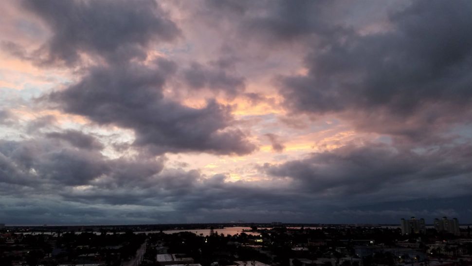
Patchy light rain with a few heavier downpours will be possible into the overnight.
- Heavy downpours possible overnight
- Flood watch in effect for some areas
- Alberto will stay well west of Tampa Bay
The main concern Sunday continues to be Sub-tropical Storm Alberto.
It is expected to stay well west of Tampa Bay. It will be moving by on Sunday.
We will be on the wet side of this storm. So a Flood Watch is in effect. Areas of heavier rain and storms will arrive before daybreak.
- WEATHER ON THE GO: Download the Spectrum Bay News 9 app and get Klystron 9 alerts wherever you are.
- GET WEATHER ALERTS: Sign up to receive weather text alerts from Spectrum Bay News 9
High tides will run about one foot above normal-high tides on Sunday afternoon, with strong south winds.
The tropical system will drift northward toward the northern Gulf coast region Saturday night into Sunday.This system may stall through Tuesday.
The deep southeast to south flow on the east side of the system will keep abundant tropical moisture over the state through the weekend. We are still expecting widespread 3-5 inch rain totals through this event, with locally higher amounts certainly possible. In addition to the heavy rainfall, saturated soils will exacerbate the flooding concerns. Area rivers remain below flood stage for now, but again, additional rainfall will likely lead to some minor flooding on several streams and rivers.
Once this system washes out, we will still be looking at remnant tropical moisture over the region, so scattered showers and thunderstorms will remain likely through Thursday.
View: Bay News 9 Interactive Radar
- LIVE interactive Klystron 9 map
- Custom Safety Net storm alerts
- LIVE interactive Real Time traffic
- Upload pictures to Bay News 9 from the app
The seven-day forecast


