


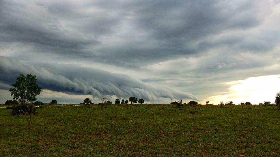
ST. PETERSBURG, Fla. -- The coverage of scattered storms has been low lately due to drier air in our upper atmosphere.
- Few thunderstorms
- Tropical moisture stays south
- Higher weekend rain chance
However, the storms that have formed have been very heavy with intense lightning, so remember that a low rain chance has nothing to do with intensity and duration of rain.
Any isolated storm overnight will die down with clearing skies. Lows will be in the low to mid 70s.
Tuesday will again feature mostly sunny to partly cloudy skies to begin with, then a few scattered storms developing in the afternoon to evening. The coverage will only be at about 20 to 30 percent. Most of that coverage will be in Polk county and Citrus county.
Highs will be in the low to mid 90s inland and upper 80s near the coast.
Tuesday night will be partly cloudy with any isolated thunderstorm dying down. Lows will be in the low to mid 70s.
Wednesday and Thursday will be mostly sunny to partly cloudy with a 30 percent coverage of afternoon to evening scattered storms. Highs will be in the low to mid 90s inland and upper 80s near the coast.
- Klystron 9 | 7-Day forecast | Tampa Bay-area temperatures | Travel weather
- WEATHER ON THE GO: Download the Spectrum Bay News 9 app and get Klystron 9 alerts wherever you are.
- GET WEATHER ALERTS: Sign up to receive weather text alerts from Spectrum Bay News 9
Moisture has been limited in our atmosphere the past few days, which is why our coverage of thunderstorms has dropped, but that moisture will slowly increase toward the end of the week into the weekend. Expect rain chance to increase at that time, getting back up to about a 40 or 50 percent coverage.
Highs will still be in the low 90s during that time.
The tropical moisture to our south in the western Caribbean might try to develop into something in the western gulf, but it would move away from us either way, so that will not have an impact on our weather.
View: Bay News 9 Interactive Radar
- LIVE interactive Klystron 9 map
- Custom Safety Net storm alerts
- LIVE interactive Real Time traffic
- Upload pictures to Bay News 9 from the app
The seven-day forecast
