


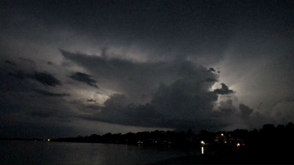
ST. PETERSBURG, Fla. -- We had some scattered storms out there this evening. They were very heavy with intense lightning, but the coverage was limited as expected due to drier air in the upper atmosphere.
- Sea breeze storms
- Low coverage
- Tropical moisture stays south
Wednesday will be similar with a sunny morning followed by some scattered thunderstorms developing around midday into the afternoon. They will form as the sea breeze moves in from the Gulf.
The coverage will again be at about 30 percent for the region. If you get a storm in your area, it will be very heavy with intense lightning.
Otherwise expect partly cloudy skies in the afternoon with highs in the low 90s. The storms will die down in the evening with the best coverage at that time east of I-75.
- Klystron 9 | 7-Day forecast | Tampa Bay-area temperatures | Travel weather
- WEATHER ON THE GO: Download the Spectrum Bay News 9 app and get Klystron 9 alerts wherever you are.
- GET WEATHER ALERTS: Sign up to receive weather text alerts from Spectrum Bay News 9
Thursday and Friday will be similar with 30 percent coverage of afternoon scattered storms.
This weekend looks slightly different with a bit more moisture in the atmosphere, therefore leading to a better coverage of scattered storms at that time. The timing of storms on Saturday will be in the afternoon to evening.
On Sunday the best timing will come earlier in the day with drier air starting to move in by late evening pushing most of the storms out of the region.
A slug of drier air will move in from the northeast Sunday night into Monday resulting in a much lower rain chance to start next week.
View: Bay News 9 Interactive Radar
- LIVE interactive Klystron 9 map
- Custom Safety Net storm alerts
- LIVE interactive Real Time traffic
- Upload pictures to Bay News 9 from the app
The tropical wave of moisture to our south in the western Caribbean will not head in our direction. It will eventually head toward Texas this weekend.
There is a chance it could develop into a tropical depression or storm, but regardless the end result will be heavy rains headed for Texas.
The seven-day forecast
