


ST. PETERSBURG, Fla. -- Here's your Tampa area weather forecast for late Wednesday into Thursday morning, along with a look at conditions through the rest of the week.
- PM storms
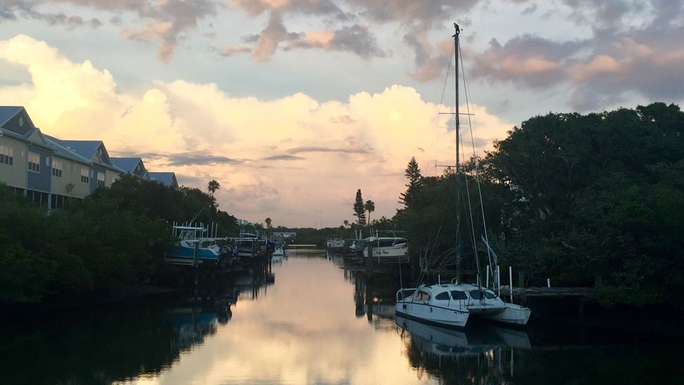
- Mainly quiet at the beach
- Pattern change Sunday
We had some big storms again today, but they will go away overnight with clearing skies into the morning.
Lows for Thursday morning will be in the low to mid 70s inland and upper 70s near the coast.
Thursday will start sunny but go partly cloudy around midday. That’s also when the first storms will start to form.
They will likely develop first near Pinellas County and Tampa Bay. Then they will propagate and build eastward into the inland areas through the afternoon.
The storms will be intense, with frequent lightning and even some small hail possible. But the coverage will be limited yet again due to drier air at about 15,000 feet above us.
Highs will again be near 90 for most spots, with some low 90s inland.
- Klystron 9 | 7-Day forecast | Tampa Bay-area temperatures | Travel weather
- WEATHER ON THE GO: Download the Spectrum Bay News 9 app and get Klystron 9 alerts wherever you are.
- GET WEATHER ALERTS: Sign up to receive weather text alerts from Spectrum Bay News 9
The storms will die down Thursday evening, with skies clearing and lows near the mid 70s.
Friday will wrap up the week on a similar note, with a 30 percent coverage of afternoon scattered storms migrating inland. Highs will be in the low 90s.
Saturday will not be much different, with a 30 percent coverage of mainly afternoon scattered storms.
Sunday is when things start to change. The best chance of storms on Sunday will be late in the afternoon into the night as a surge of moisture comes across the state from the Atlantic.
That will then blow offshore into the gulf that night, with drier air coming in for Monday.
That drier air will be so significant that it will likely drop our rain chance to almost zero for a couple of days, which is rare for this time of year, so expect only a very small chance of a storm next Monday and Tuesday.
View: Bay News 9 Interactive Radar
- LIVE interactive Klystron 9 map
- Custom Safety Net storm alerts
- LIVE interactive Real Time traffic
- Upload pictures to Bay News 9 from the app
The seven-day forecast
