


CENTRAL FLORIDA -- A hot and humid day pattern continued today with temperatures quickly topping off in the low 90s with feel-like temperatures reaching the 100s in most places.
- Highs in the low to mid 90s
- Rain chances rise
- SEE BELOW: See our 7-day forecast ▼
Once the high pressure system weakens on Thursday, deeper moisture will fuel more isolated showers.
Boundary collisions could lead to occasionally strong storms with frequent lightning, torrential rain, and strong wind gusts.
Rain chances will increase to 50-60 percent for the rest of the week.
- View LIVE Interactive StormTracker 13 Radar Map
- View our LIVE Sky 13 Weather Cameras
- Sign up for Severe Weather Alerts
Temperatures will continue to stay high reaching into the low to mid-90s, but temperatures will return to seasonal average by the end of the week. Overnight lows will continue to stay warm and muggy in the mid-70s.
Surf cast remains flat with minimal trade swells till the end of the week. However, sea surface temperatures are in the low 80s making it refreshing for a swim. The UV index remains very intense, so continue to reapply sunscreen.
If you plan to go to the beach tomorrow, keep in mind we have just enough of an undertow to produce a moderate rip current threat. So, it is always best to swim close to a lifeguard tower.
Tropical Update
In the tropics, there are no threats to Florida.
One weak area of low pressure has moved from the western Gulf onto the Texas coastal plain. It no longer poses a risk of obtaining tropical characteristics, but it will still be a big rainmaker for the Lone Star State.
No additional development is expected this week.
Hurricane Season continues through Nov. 30.

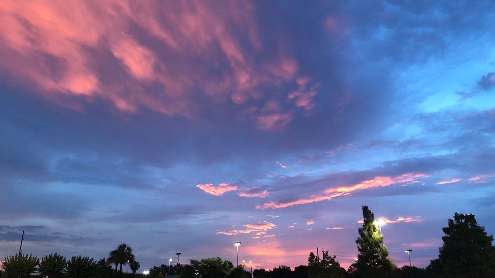
We want your pictures!
Show us what the weather looks like in your neighborhood. Your photo could end up on Spectrum News 13.
- Get the Spectrum News 13 app for iOS or Android
- Tap "Submit Content" at the bottom of the app menu
- Remember to include your name and location