


ST. PETERSBURG, Fla.--Here's your Tampa area weather forecast for late Wednesday into Thursday morning, with a look at conditions through the weekend.
- Onshore breeze
- AM coastal storms
- Increasing rain chances
- SEE BELOW: See our 7-day forecast ▼
The storms got an earlier start in the gulf and near our coastal areas today. With a breeze from the west they all moved inland and eastward, and will die down or just move out of our area.
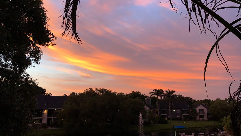
Going forward this evening, expect partly cloudy skies. Morning lows will be in the mid to upper 70s.
The storms will get a quick start again in coastal areas for Thursday morning, moving eastward and propagating inland as the day goes along.
As a result, highs will not get that hot, mainly topping out near 90, and then even drop a couple of degrees after the storms pass.
The winds will be from the west off the gulf and be a bit breezier than we typically have.
The storms will die down for Thursday evening with partly cloudy skies.
- Klystron 9 | 7-Day forecast | Tampa Bay-area temperatures | Travel weather
- WEATHER ON THE GO: Download the Spectrum Bay News 9 app and get Klystron 9 alerts wherever you are.
- GET WEATHER ALERTS: Sign up to receive weather text alerts from Spectrum Bay News 9
Friday will again feature an early start to the thunderstorms in the morning and they will all have an eastward movement.
The forecast is tricky for Friday because we might end up getting a much higher coverage of rain if the front to our north can move far enough south. It will stall in the Panhandle, but if it comes far enough south it will push a line of storms down into our region.
For now we’ll hold at about 40 to 50 percent coverage that day, but we might have to increase that if we see further evidence of the front getting closer. Either way, that onshore wind pattern will keep highs in check in the upper 80s to near 90.
Saturday will feature a similar pattern of scattered storms starting near coastal zones and moving eastward through the day, ending up inland in the afternoon to evening. Highs will be near 90.
Sunday will be the first day when the winds collapse, and the best coverage of storms could therefore concentrate back to our side of the state in the afternoon to evening.
If that wind pattern pans out, we could be looking at a more typical summer pattern for next week where we have sunny mornings but numerous scattered storms each afternoon to evening.
View: Bay News 9 Interactive Radar
- LIVE interactive Klystron 9 map
- Custom Safety Net storm alerts
- LIVE interactive Real Time traffic
- Upload pictures to Bay News 9 from the app
The 7-day forecast
