


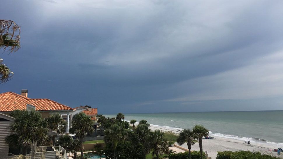
ST. PETERSBURG, Fla. -- Evening storms will move toward the Gulf and then end late Sunday evening, expect partly cloudy skies through the overnight.
- Highs for Monday at 93 degrees
- Hot, humid
- SEE BELOW: See our 7-day forecast ▼
Lows will be in the mid 70s inland and near 80 at the coast.
By Monday, the pattern will fully transition into a normal summertime pattern with prevailing east winds.
Storms will not develop until the afternoon after the sea breeze becomes clearly defined. Storms will continue into the evening, especially in the coastal counties.
The moisture in the mid and upper levels is likely to be less than Sunday, so the coverage of showers and storms will be less.
Highs will be in the 90s.
- Klystron 9 | 7-Day forecast | Tampa Bay-area temperatures | Travel weather
- WEATHER ON THE GO: Download the Spectrum Bay News 9 app and get Klystron 9 alerts wherever you are.
- GET WEATHER ALERTS: Sign up to receive weather text alerts from Spectrum Bay News 9
That wind pattern will continue through at least mid-week. The coverage of storms will vary a bit from day to day, but the wind pattern will be light, but consistent and therefore the timing of the storms will mainly be in the afternoon to evening each day.
Highs therefore will also be a little higher with most days reaching the low to mid 90s.
Winds are expected to be light and variable for the second half of the week. Storms are likely to start around midday and will move slowly along outflow boundaries into the evening.
The coverage of showers and storms will be around normal for this time of year.
View: Bay News 9 Interactive Radar
- LIVE interactive Klystron 9 map
- Custom Safety Net storm alerts
- LIVE interactive Real Time traffic
- Upload pictures to Bay News 9 from the app
The 7-day forecast
