


ST. PETERSBURG, Fla. -- Here's your Tampa area weather forecast for late Tuesday into Wednesday morning, along with a look at conditions through Thursday.
- Drier air
- Fewer storms
- Hurricane Chris stays offshore
Drier air wrapping around the backside of Hurricane Chris is moving down into our area, resulting in fewer storms.
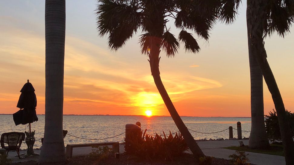
Skies will be mostly clear into Wednesday morning with lows in the low 70s inland and upper 70s at the coast.
- WEATHER ON THE GO: Download the Spectrum Bay News 9 app and get Klystron 9 alerts wherever you are.
- GET WEATHER ALERTS: Sign up to receive weather text alerts from Spectrum Bay News 9
- Klystron 9 | 7-Day forecast | Tampa Bay-area temperatures | Travel weather
Wednesday will feature mostly sunny skies with only a limited number of storms, about 30 percent coverage.
Since there will be fewer storms, the high temperatures will be hot, topping out in the mid 90s.
This lower coverage of storms will continue into Thursday, with highs again in the mid 90s.
View: Bay News 9 Interactive Radar
- LIVE interactive Klystron 9 map
- Custom Safety Net storm alerts
- LIVE interactive Real Time traffic
- Upload pictures to Bay News 9 from the app
7-day forecast

There is a chance of a few evening thunderstorms then it will be partly cloudy to mostly clear tonight
There is a chance of a few evening thunderstorms then it will be partly cloudy to mostly clear tonight
There is a chance of a few evening thunderstorms then it will be partly cloudy to mostly clear tonight
There is a chance of a few evening thunderstorms then it will be partly cloudy to mostly clear tonight
There is a chance of a few evening thunderstorms then it will be partly cloudy to mostly clear tonight