


ST. PETERSBURG, Fla. -- Here's your Tampa area weather forecast for late Wednesday into Thursday morning, along with a preview of conditions this weekend.
- PM storms
- Slow movement
- Drier, hotter weekend
- Subtropical Depression 5 forms in Atlantic; no threat to US
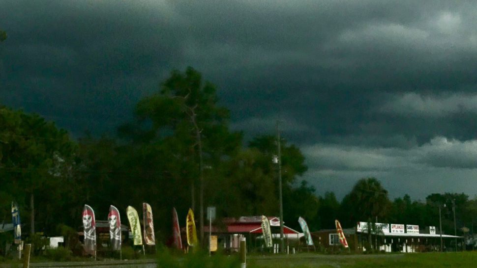
We’re back to our more typical summer pattern, where the storms mainly form in the afternoon and slowly wind down in the evening.
We’ll have clearing skies for early Thursday morning, with lows in the low to mid 70s inland and upper 70s at the coast.
Thursday will start with sunny skies that go partly cloudy in the afternoon. High temperatures will easily reach the low to mid 90s.
- WEATHER ON THE GO: Download the Spectrum Bay News 9 app and get Klystron 9 alerts wherever you are.
- GET WEATHER ALERTS: Sign up to receive weather text alerts from Spectrum Bay News 9
- Klystron 9 | 7-Day forecast | Tampa Bay-area temperatures | Travel weather
The storms will get a later start, with most of them in the late afternoon to evening. They will move very little, with only a slow northward movement. The coverage will be at about 40 percent.
These storms will linger longer into Thursday evening. Then expect clearing skies with lows in the low to mid 70s Thursday night.
Friday will feature a similar pattern with afternoon scattered storms, but the coverage will be down a bit in the 30 percent range.
Highs will be in the low to mid 90s.
Drier air to our southeast in the Atlantic is headed in our direction and will cut down on the coverage of storms. We’ll still have some afternoon to evening storms both weekend days, but the coverage will be limited to the 20 to 30 percent range.
7-day forecast
