


ST. PETERSBURG, Fla. — Here's your Tampa area weather forecast for late Thursday into Friday morning, along with a look at conditions through Sunday.
- Some evening thunderstorms
- Rather low rain chances into the weekend
- Hot weekend
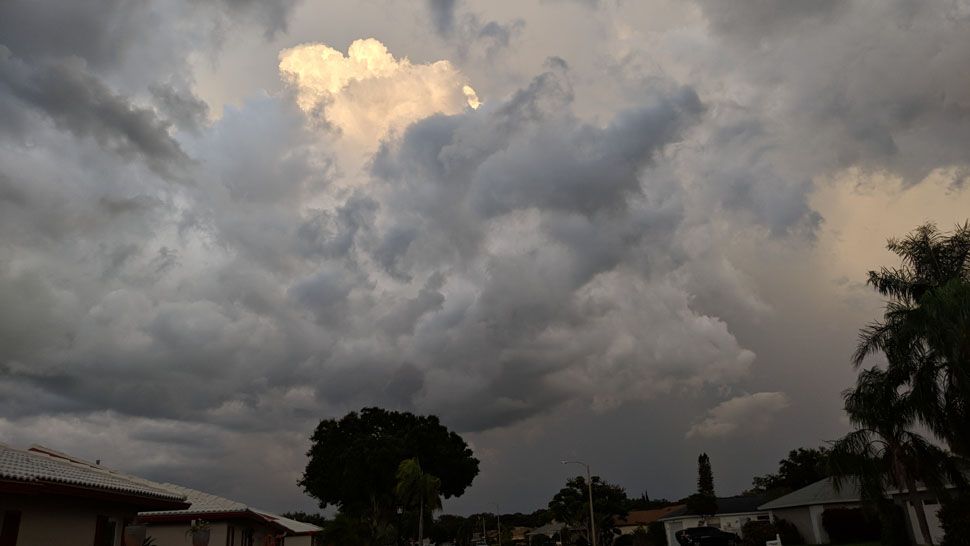
Scattered storms formed later Thursday evening, and they're taking longer to die down. They will go away overnight, though, leading to clearing skies into the morning.
With that in mind, expect mostly clear conditions when you head out the door Friday morning. Lows will be in the low to mid 70s, but upper 70s at the beach.
Drier air will have an impact on our rain chances headed into the weekend. Expect those chances to start decreasing Friday.
The morning will be sunny with a partly cloudy afternoon. There will be some scattered storms that will build and then drift west towards the coast in the evening, but the coverage will be lower, in the 30 percent range.
Highs will be in the low to mid 90s, then skies will clear out, with lows in the low to mid 70s.
- WEATHER ON THE GO: Download the Spectrum Bay News 9 app and get Klystron 9 alerts wherever you are.
- GET WEATHER ALERTS: Sign up to receive weather text alerts from Spectrum Bay News 9
- Klystron 9 | 7-Day forecast | Tampa Bay-area temperatures | Travel weather
Saturday will likely be the driest day of the week as the drier air spreads directly over us. Expect mostly sunny to partly cloudy skies that day, with only a 20 percent chance of an afternoon to evening storm.
Highs will be hot in the mid 90s.
Sunday will wrap up the weekend with a slightly higher coverage of storms in the afternoon with the rain chance going back up to 30 percent. Highs will be in the mid 90s.
Moisture will start increasing our atmosphere next week with rain chances increasing at that time.
7-day forecast
