


ORLANDO, Fla. — Temperatures were back into the mid to low 90s for our Tuesday with the humidity making it feel more like triple digits.
- Highs for Tuesday at 92 degrees
- Partly cloud skies overnight
- Quiet start to Wednesday
- SEE BELOW: See our 7-day forecast ▼
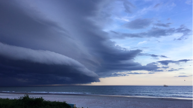
We had plenty of sunshine to start, but afternoon storms developed along the east and west coast sea breeze and moved inland. A few of those storms were strong with frequent lightning and gusty wind.
Not much is expected to change for the rest of the week with high heat and afternoon storms sticking around.
Partly cloudy skies are in the forecast through the overnight hours. Temperatures will be mild, falling into the mid-70s.
Another quiet start to Wednesday, then a few more clouds during the afternoon and storms as the east and west coast sea breeze moves inland.
- View LIVE Interactive StormTracker 13 Radar Map
- View our LIVE Sky 13 Weather Cameras
- Sign up for Severe Weather Alerts
There may be a few stronger storms with gusty wind and frequent lightning as the two sea breezes collide late in the day.
Temperatures remain hot, back in the mid to low 90s with the humidity making it feel closer to 100 degrees. Hot temperatures and afternoon storms will continue the rest of the week.
Surf conditions will be slightly better Wednesday, but still poor. If heading into the water, however, keep in mind an elevated rip current threat and watch for developing storms.
Tropical Forecast
In the tropics, no tropical development is expected in the next five days.
The Atlantic Hurricane Season runs through Nov. 30, 2018.

We want your pictures!
Show us what the weather looks like in your neighborhood. Your photo could end up on Spectrum News 13.
- Get the Spectrum News 13 app for iOS or Android
- Tap "Submit Content" at the bottom of the app menu
- Remember to include your name and location