


ST. PETERSBURG, Fla. — Here's your Tampa area weather forecast for late Friday into Saturday morning, along with a look at conditions through Labor Day weekend.
- Afternoon thunderstorms
- Some heavy rain
- More Labor Day weekend storms
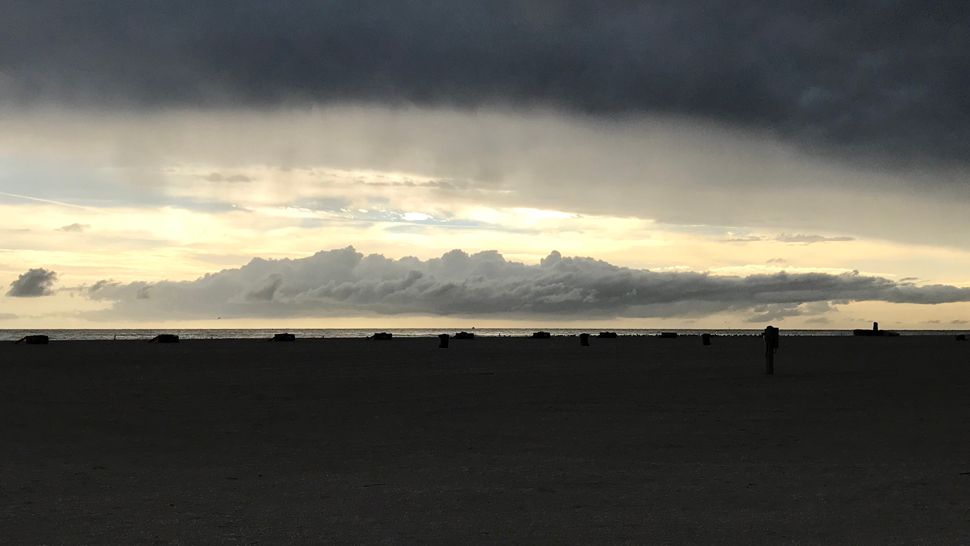
Scattered storms will again have a westward movement into the gulf this evening. Expect clearing skies overnight into early Saturday morning.
Lows will be in the low to mid 70s.
This pattern with a wind blowing from the east is the same one we will see all weekend long.
Saturday morning will start out dry. Storms will develop on the east coast and the interior of the state in the afternoon and will move west.
Highs will be into the 90s before the rain moves in, which will cool temperatures into the 70s. Winds will be a little lighter than the last two days.
Sunday afternoon will again be in the low to mid 90s. Storms will develop in the afternoon. East breezes pick up again, so storms will bring gusty winds.
The coverage of storms will be at about 50 percent both days.
- WEATHER ON THE GO: Download the Spectrum Bay News 9 app and get Klystron 9 alerts wherever you are.
- GET WEATHER ALERTS: Sign up to receive weather text alerts from Spectrum Bay News 9
- Klystron 9 | 7-Day forecast | Tampa Bay-area temperatures | Travel weather
The east wind pattern will continue into Labor Day, also. The difference though for early week next week will be that we have more moisture in our atmosphere.
There is a tropical wave to our southeast that will be passing by to our south Monday into Tuesday. When that happens it will increase our atmospheric moisture, which in turn will result in a higher coverage of showers and storms passing through the area at that time.
Expect the coverage of storms back up to about 60 percent Monday, and then likely up to 70 percent Tuesday. If the wave moves by faster, Monday rain coverage may be a bit higher, and Tuesday coverage a little lower.
Behind that wave the moisture will slowly decrease. with rain chances down to about 50 percent Wednesday and then 40 percent by Thursday.
But even when the rain chances decrease, the pattern will remain the same, where the storms are in the afternoon to evening and move westward toward the gulf.
Highs will be in the low to mid 90s most days, but coolest on Tuesday when we have the most clouds and highest rain chance. It will likely be in the 80s that day.
7-day forecast

We want your pictures!
Show us what the weather looks like in your neighborhood. Your photo could end up on Spectrum Bay News 9.
- Get the Spectrum Bay News 9 app for iOS or Android
- Tap "Submit Content" at the bottom of the app menu
- Remember to include your name and location
River flooding
Minor river flooding is occurring on several rivers across the region. Any additional heavy rain could cause rivers to rise further for the weekend and next week.
Residents living along rivers or faster flowing streams should remain aware of water levels and be ready to move to higher ground should flooding be observed.
...Flood Warning extended until Monday morning...
The Flood Warning continues for
The Alafia River At Lithia
* Until Monday morning.
* At 07 AM Friday the stage was 14.1 feet.
* Minor flooding is occurring and Minor flooding is forecast.
* Flood stage is 13.0 feet.
* The river will continue rising to near 14.3 feet by this afternoon.
The river is expected to fall below flood stage Monday morning.
* Impact...at 15.0 feet...Additional residences downstream of County Road 640 bridge begin flooding.
The Flood Warning continues for
The Withlacoochee At Trilby
* Until late Saturday night.
* At 8 PM Thursday the stage was 12.2 feet.
* Minor flooding is occurring and Minor flooding is forecast.
* Flood stage is 12.0 feet.
* The river will continue rising to near 12.3 feet this morning. The river is expected to fall below flood stage Saturday evening.
* Impact...at 12.0 feet...Flooding begins at Lacoochee, Talisman Estates, Riverdale, and River Height Estates.
The Flood Warning continues for
The Cypress Creek At Worthington Gardens
* Until further notice.
* At 8 PM Thursday the stage was 7.8 feet.
* Minor flooding is forecast.
* Flood stage is 8.0 feet.
* Forecast to rise above flood stage and continue to rise to near 8.8 feet by Sunday early afternoon.
* Impact...at 8.0 feet...Flooding begins at the recreation area on State Road 54.
The Manatee River Near Myakka Head
* Until late Friday night.
* At 8 PM Thursday the stage was 11.8 feet.
* Minor flooding is occurring and Minor flooding is forecast.
* Flood stage is 11.0 feet.
* The river will continue rising to near 11.8 feet. The river is expected to fall below flood stage this evening.
* Impact...at 11.0 feet...Private road and bridge 1 mile downstream flood. Agricultural, rural Kibler area begins to flood.
The Flood Warning continues for
The Myakka River At Myakka River State Park
* Until further notice.
* At 08 PM Thursday the stage was 7.7 feet.
* Minor flooding is occurring and Minor flooding is forecast.
* Flood stage is 7.0 feet.
* The river will continue rising to near 7.7 feet this morning then begin falling.
* Impact...at 8.0 feet...The main road at Myakka State Park floods.