


ST. PETERSBURG, Fla. — Here's your Tampa area weather forecast for late Tuesday into Wednesday morning, along with a look at conditions through the end of the work week.
- Tracking Tropical Storm Gordon
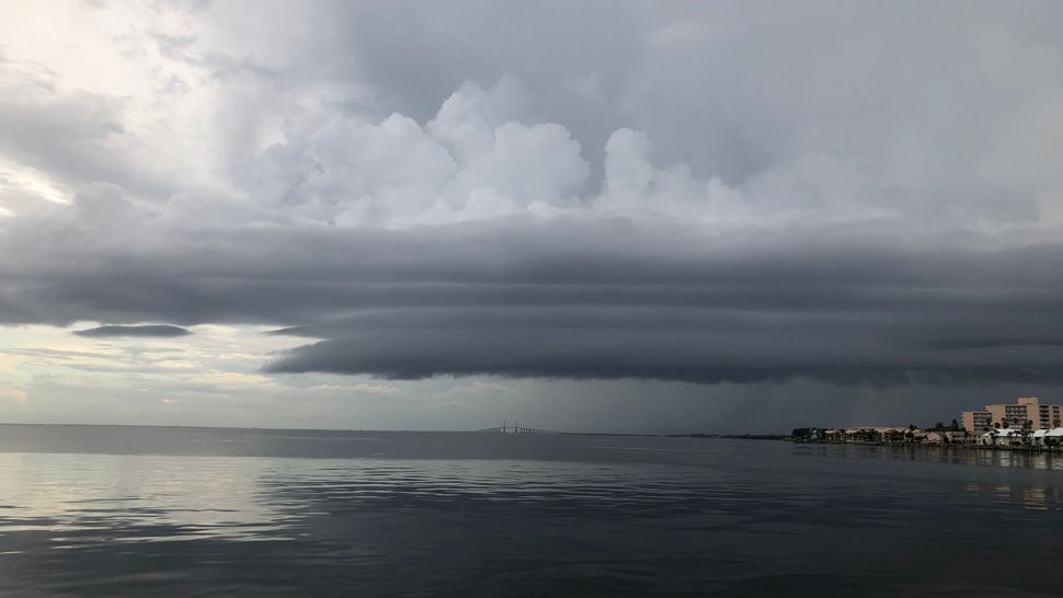
- Some heavy storms today
- Normal summer pattern
The same pattern we saw all of last week we’re still seeing this week, with the afternoon to evening scattered storms moving westward into the Gulf of Mexico.
Skies will slowly clear out headed into early Wednesday morning, with lows in the low to mid 70s inland and upper 70s near the coast.
Gordon continues moving farther away into the Alabama - Mississippi area. It never had much to do with our weather anyway, but as it pulls away the atmospheric moisture content will drop slightly for Wednesday.
- WEATHER ON THE GO: Download the Spectrum Bay News 9 app and get Klystron 9 alerts wherever you are.
- GET WEATHER ALERTS: Sign up to receive weather text alerts from Spectrum Bay News 9
- Klystron 9 | 7-Day forecast | Tampa Bay-area temperatures | Travel weather
We’ll start with mostly sunny skies for the morning followed by increasing clouds and scattered storms in the afternoon to evening. The coverage will be lower, in the 40 percent range, due to the slightly lower moisture content.
Highs before the storms start will be in the low to mid 90s. The storms will move west into the gulf Wednesday evening, with skies going partly cloudy into the night.
Thursday will feature the same wind pattern, with afternoon to evening storms moving westward towards the gulf by late in the day. Coverage will increase back to the 50 to 60 percent range due to increased moisture in the atmosphere.
This wind pattern will persist into Friday before it slowly starts breaking down this weekend.
7-day forecast

We want your pictures!
Show us what the weather looks like in your neighborhood. Your photo could end up on Spectrum Bay News 9.
- Get the Spectrum Bay News 9 app for iOS or Android
- Tap "Submit Content" at the bottom of the app menu
- Remember to include your name and location