


ST. PETERSBURG, Fla. — Here's your Tampa area weather forecast for late Thursday into Friday morning, along with a look at conditions through the weekend.
- Continued wet conditions for now
- Winds shift Sunday
- Tropics are active
Scattered storms will die down with skies clearing overnight into early Friday morning. Lows will be in the low to mid 70s inland and upper 70s near the coast.
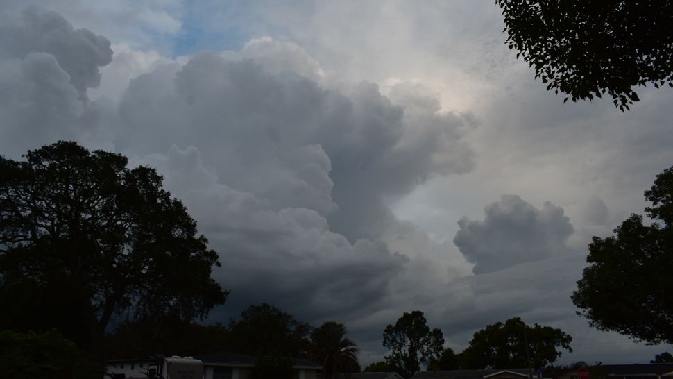
We’ll start with sunny skies in the morning, but clouds will build fast and scattered storms will then form. They will form faster than the past couple of days and the coverage will increase into the 60 percent range, so by the end of the day a big chunk of the region will end up with at least some rainfall.
Highs will be a couple degrees lower, mainly around 91.
The storms will die down Friday evening with partly cloudy skies. Lows will be in the low to mid 70s.
- WEATHER ON THE GO: Download the Spectrum Bay News 9 app and get Klystron 9 alerts wherever you are.
- GET WEATHER ALERTS: Sign up to receive weather text alerts from Spectrum Bay News 9
- Klystron 9 | 7-Day forecast | Tampa Bay-area temperatures | Travel weather
Saturday will again feature a 60 percent coverage of scattered afternoon to evening storms. The highs will be around 90.
The wind pattern will finally shift on Sunday. That means we’ll have a slight onshore breeze, which means the storms will start quicker, likely be late morning to midday, but they will then tend to move inland and eastward.
As a result, most of them will end up moving away from coastal regions by the evening.
Highs will be near 90.
The tropics will be active over the next week as we track Florence across the Atlantic and also a couple of more tropical waves likely to develop into storms. The good news is nothing is threatening Florida at this time.
7-day forecast

We want your pictures!
Show us what the weather looks like in your neighborhood. Your photo could end up on Spectrum Bay News 9.
- Get the Spectrum Bay News 9 app for iOS or Android
- Tap "Submit Content" at the bottom of the app menu
- Remember to include your name and location