


ST. PETERSBURG, Fla. — Here's your Tampa area weather forecast for late Tuesday into Wednesday morning, along with a look at conditions throughout the work week.
- Staying hot and humid
- Wind shift
- Tropics quiet
The few scattered storms we’ve seen today will die down, with partly cloudy skies going mostly clear into early Wednesday morning.
Some areas will be lucky to have rain-cooled temperatures in the low to mid 70s inland, but most spots will not drop past the upper 70s to low 80s.
Wednesday will start with mostly sunny skies. Clouds will build in the late morning to early afternoon with some scattered storms starting along our sea breeze in coastal regions.
They will then propagate inland through the afternoon to evening, with most of them east of I-75 by later in the day.
The coverage will be in the 30 percent range. High temperatures will again reach the low to mid 90s before the scattered storms begin.
What few storms are out there in the evening will die down into Wednesday night. Lows will be in the upper 70s to low 80s.
- WEATHER ON THE GO: Download the Spectrum Bay News 9 app and get Klystron 9 alerts wherever you are.
- GET WEATHER ALERTS: Sign up to receive weather text alerts from Spectrum Bay News 9
- Klystron 9 | 7-Day forecast | Tampa Bay-area temperatures | Travel weather
On Thursday the winds will shift slightly, mainly coming from the east. That means our sea breeze will stay pinned near our coast.
The scattered storms we see that day will form and then drift westward toward the gulf. Highs will be in the low to mid 90s.
Friday will feature a lower rain chance due to drier air coming across the state on that east wind.
However, then it looks like a slug of moisture will stream in from the east Saturday into Sunday, resulting in rain chances increasing at that time.
The storms will form in late afternoon to evening both days and drift west toward the gulf.
Highs will still be in the low to mid 90s.
7-day forecast

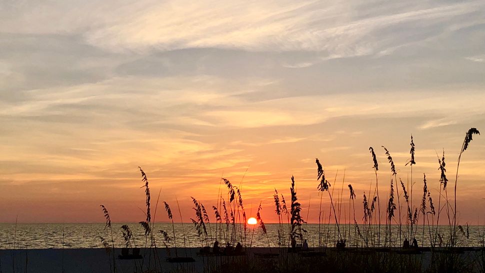
We want your pictures!
Show us what the weather looks like in your neighborhood. Your photo could end up on Spectrum Bay News 9.
- Get the Spectrum Bay News 9 app for iOS or Android
- Tap "Submit Content" at the bottom of the app menu
- Remember to include your name and location