


ORLANDO, Fla. — Be sure to stay hydrated as the late summer sizzle continues across Central Florida.
- Unseasonable heat continues
- Scattered storm chances across area
- CURRENT CONDITIONS: Temperatures, heat indexes, trends
- SEE BELOW: See our 7-day forecast ▼
Temperatures quickly soared into the 90s again Wednesday afternoon with plenty of sunshine to start out the day.
Sanford reached 96 degrees, tying the old record set back in 1972. Once the east and west coast sea breeze developed, they helped to spark afternoon showers and storms.
Temperatures remain hot over the next few days, but will slowly drop closer to average by the weekend. Afternoon storms continue.
- View LIVE Interactive StormTracker 13 Radar Map
- View our LIVE Sky 13 Weather Cameras
- Sign up for Severe Weather Alerts
Expect partly cloudy skies as we head toward daybreak as temperatures fall into the mid-70s.
Lots of sunshine will start out our Thursday as temperatures heat quickly into the mid to low 90s. The humidity will once again make it feel closer to 100 degrees.
There is a 40 percent chance for afternoon showers and storms along the east and west coast sea breeze. Some storms may hold gusty wind and frequent lightning.
Not much change expected the next few days other than a slight drop in high temperatures. Still hot and humid, though.
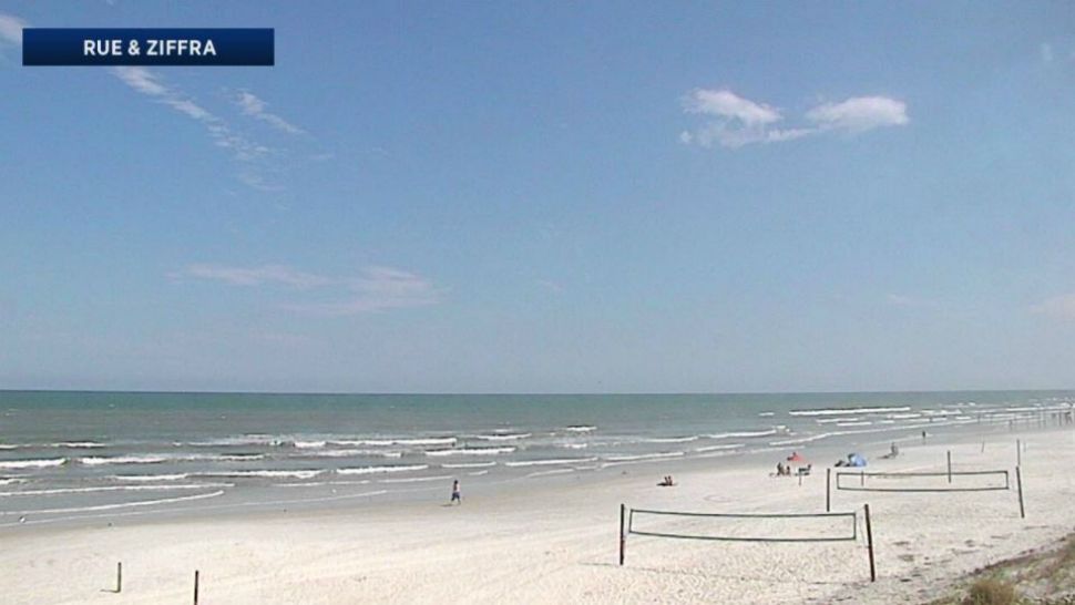
If heading to the beach, grab the sunscreen and watch for an elevated rip current threat.
Tropical Update
In the tropics, there are no longer any named storms, but a couple of areas of interest.
There is a low potential for development on cluster of thunderstorms in the south central Atlantic moving west toward the Lesser Antilles. We are also watching an area in the central Atlantic with medium potential. None of these are concerns for Florida at this time.
The hurricane season runs through Nov. 30.

We want your pictures!
Show us what the weather looks like in your neighborhood. Your photo could end up on Spectrum News 13.
- Get the Spectrum News 13 app for iOS or Android
- Tap "Submit Content" at the bottom of the app menu
- Remember to include your name and location