


ST. PETERSBURG, Fla. — We had a few isolated showers out there due to some moisture that drifted across the state on that east wind. Skies will go partly cloudy to mostly clear into Saturday morning.
- Onshore breeze Saturday
- Front Sunday
- Pattern change late week
Lows will be in the upper 60s to mid 70s.
Winds will shift Saturday, allowing for a sea breeze, especially in coastal regions.
As a result, expect high temperatures just a couple degrees lower for Saturday in the upper 80s. Skies will be partly cloudy with a 20 percent chance of a shower.
Saturday night will be partly cloudy with lows in the low to mid 70s.
- WEATHER ON THE GO: Download the Spectrum Bay News 9 app and get Klystron 9 alerts wherever you are.
- GET WEATHER ALERTS: Sign up to receive weather text alerts from Spectrum Bay News 9
- Klystron 9 | 7-Day forecast | Tampa Bay-area temperatures | Travel weather
Sunday will feature a quiet cold front passing through. There is only a 10 percent chance of a shower passing with it.
But the bigger news will be the slight drop in humidity and temperatures Sunday afternoon into Monday.
Although it will not be a big drop, after the long summer we’ve seen even a drop of a few degrees will feel nice.
Expect highs in the mid 80s Sunday. Sunday night into Monday morning will be very comfortable, with lows in the 50s and 60s.
Monday will be mostly sunny, with highs in the mid 80s and continued low humidity.
Clouds and rain chances will increase late next week, with the highest rain chance likely from Friday into Saturday.
7-day forecast

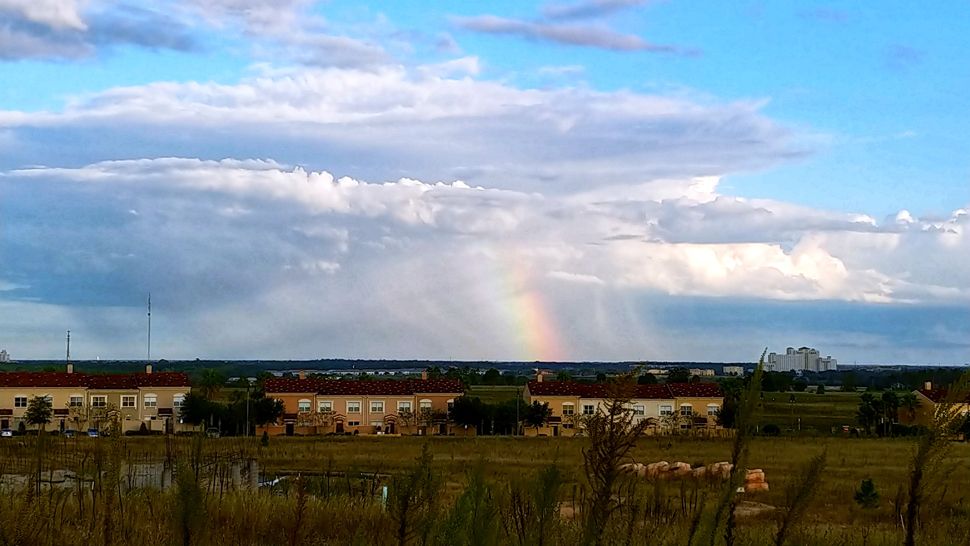
We want your pictures!
Show us what the weather looks like in your neighborhood. Your photo could end up on Spectrum Bay News 9.
- Get the Spectrum Bay News 9 app for iOS or Android
- Tap "Submit Content" at the bottom of the app menu
- Remember to include your name and location