


ORLANDO, Fla. — We had more seasonable conditions, finally, for Central Florida Monday thanks to a strong cold front that swept across the area early Sunday.
- Relief from the heat
- Rain chances increase by end of week
- TRACKING THE TROPICS: Formation potentials, Atlantic and Gulf satellite loops, typical storm tracks per month
- SEE BELOW: See our 7-day forecast ▼
We are tucked in between a ridge of high pressure across the southeastern U.S. and a stationary front stretched from the Bahamas into south Florida and over the Gulf of Mexico.
Dry air working into the state behind the front Sunday stayed put Monday, although as the onshore flow courtesy of the high to our north strengthens along the coast, we may still bring a rogue shower or sprinkles into our coastal overnight.
Highs Monday were where they should be this time of year, in the upper 70s to low 80s. Dewpoints (measure of moisture in the atmosphere) are also fairly comfortable in the 50s.
Moisture slowly creeps back into Central Florida, although rain coverage remains a very low 20 percent Tuesday and Wednesday and the best chance stays along the coast.
- View LIVE Interactive StormTracker 13 Radar Map
- View our LIVE Sky 13 Weather Cameras
- Sign up for Severe Weather Alerts
By Thursday, a warm front lifting over us will increase our rain coverage to 50 percent. An area of low pressure sliding across the northern Gulf bumps that to 60 percent Friday, before a cold front sweeps in and dries us out for the weekend.
We’ll see 80s for highs through Friday, with widespread 70s over the weekend.
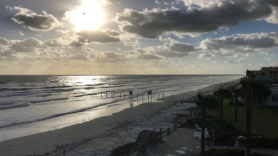
Poor to fair surfing conditions greet those of you hoping to catch a few waves Tuesday. The best conditions this entire week may actually be in the morning, so grab a board and be ready.
Enough of an ocean swell lingers, keeping us in a moderate rip current risk for most of this week.
Tropical Update
In the tropics, the Atlantic tropical basin remains tranquil, with no areas of interest being monitored. Hurricane season is winding down and officially ends November 30.

We want your pictures!
Show us what the weather looks like in your neighborhood. Your photo could end up on Spectrum News 13.
- Get the Spectrum News 13 app for iOS or Android
- Tap "Submit Content" at the bottom of the app menu
- Remember to include your name and location