


ST. PETERSBURG, Fla. — Skies will clear with much colder air moving into the region for Friday morning.
- Chilly mornings
- Abundant sunshine
- Nice pattern ahead
- SEE BELOW: See our 7-day forecast ▼
As predicted, this is the strongest cold front we’ve seen this season so far.
You will notice a huge difference walking out the door Friday morning, with lows in the 40s for most areas, and some upper 30s into Citrus and Hernando counties. The lows will stop in the 50s right by the beach where the warm water temperatures have an influence.
The winds will continue to be breezy from the north.
Friday will be the coolest day we’ve had since last spring. Highs will not make it out of the 60s, even with totally sunny skies.
The north wind will continue at about 10 to 15 mph.
Friday night will be clear and chilly with lows in the 40s, and even some 30s for northern counties.
- WEATHER ON THE GO: Download the Spectrum Bay News 9 app and get Klystron 9 alerts wherever you are.
- GET WEATHER ALERTS: Sign up to receive weather text alerts from Spectrum Bay News 9
- Klystron 9 | 7-Day forecast | Tampa Bay-area temperatures | Travel weather
Saturday will be a gorgeous day, with sunny skies and highs in the low 70s.
Saturday night will be mostly clear and cool with lows in the 40s and 50s.
Sunday will wrap up the weekend on a comfortable note with highs in the 70s. There will be more clouds around, but no rain is expected.
Next week looks like a nearly perfect pattern — not too warm and not too cool.
Monday through Wednesday will feature persistent conditions of highs in the 70s each afternoon and lows in the 50s each night. Skies will feature a mix of sun and clouds.
7-day forecast

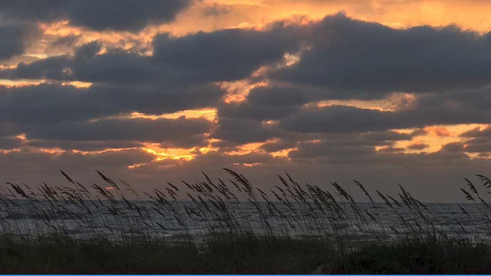
We want your pictures!
Show us what the weather looks like in your neighborhood. Your photo could end up on Spectrum Bay News 9.
- Get the Spectrum Bay News 9 app for iOS or Android
- Tap "Submit Content" at the bottom of the app menu
- Remember to include your name and location