TAMPA, Fla. — In October, Florida weather changes are still more subtle when a cold front passes, but it is the time of the year when winter storms are becoming more common in the Northern and Western U.S.
- Florida still feeling summer like temps in October
- Other parts of the country experiencing snow storms
- Here's this week's forecast for the Tampa Bay Area
- National Radar
- MORE weather blogs
The strong cold fronts with winter storms also bring drastic temperature changes.
A winter storm centered over the Dakotas developed there on Wednesday. It is still snowing there today. Up to 3 feet total snowfall is expected in parts of North Dakota when the storm moves away Saturday. And 40 to 60 mph winds are also expected.
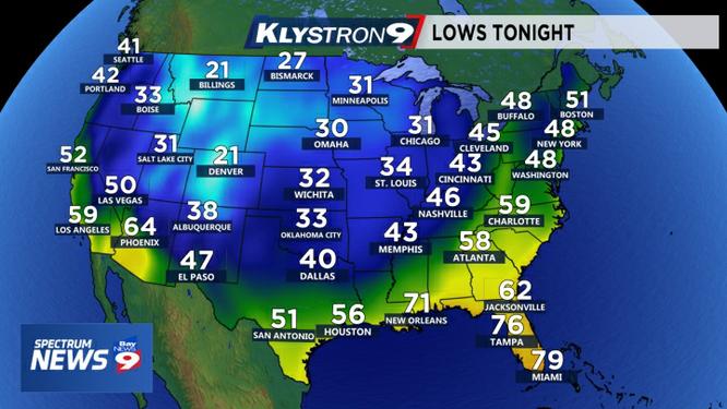
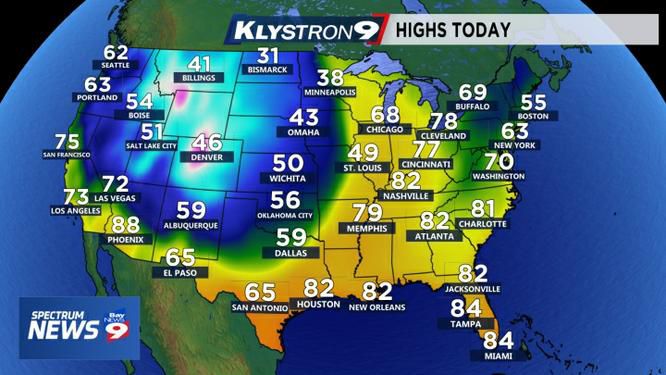
Behind the strong cold front, temperatures dropped drastically. For example, Denver was 83 degrees at 3 p.m. on Wednesday. By 7 p.m., it was down to 47 degrees. And at 9 p.m., it was 31.
If you left the house with shorts on that afternoon, you would be in for a shocker after dinner!
The highs on Thursday stayed in the 20s.
This morning, Denver dropped to 9 degrees setting a new record low. The average high today in Denver is 66 degrees. It will likely stay in the 40s.
It is still early in the year for the jet stream to make it this far south. So when the cold fronts get to Tampa Bay, the “cold” air is just not that cold.
Once the jet stream becomes more amplified, we will get more of a temperature drop when a cold front passes. We usually get a shot at that by November.