


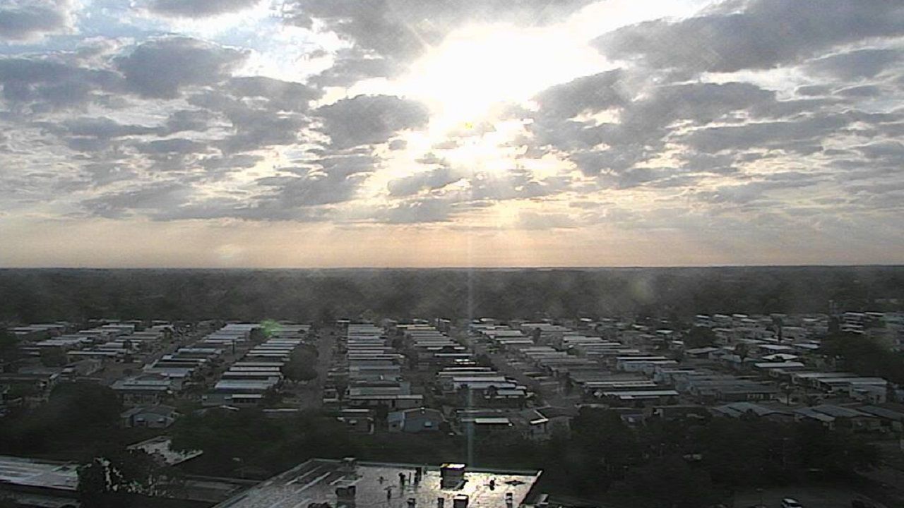
ST. PETERSBURG, Fla. — Tuesday morning will start off quiet with areas of patchy fog. Temperatures will be above normal in the mid to upper 60s for Tampa and low 60s north.
- Warm pattern continues
- Low rain chances
- Lots of sun
- SEE BELOW: See our 7-day forecast ▼
Expect the fog to lift just after sunrise with a mix of sun and clouds. A spot shower can’t be ruled out during the afternoon, especially interior parts of the state but the rain chance will be less than 10 percent.
Temperatures are expected to stay above normal through the week. High pressure nearby will lead to a light east to southeast wind keeping the warmth in place. It will also feel a little muggier than normal this time of year.
- WEATHER ON THE GO: Download the Spectrum Bay News 9 app and get Klystron 9 alerts wherever you are
- GET WEATHER ALERTS: Sign up to receive weather text alerts from Spectrum Bay News 9
- Klystron 9 | 7-Day forecast | Tampa Bay-area temperatures | Travel weather
Expect temperatures to max out in the low to mid 80s Wednesday and Thursday with cooler conditions along the immediate coast.
The pattern doesn’t change a whole lot going into the weekend. High temperatures will be in the 80s through Sunday, cooler along the coast.
A front will be north of us on Sunday but there will be a bit more moisture in place. This could result in a passing shower on Sunday and a few showers by Monday.
7-day forecast
