


TAMPA, Fla. — What is sea fog and why is it so dangerous to the marine community?
Sea fog can form at a moment's notice, leading to near zero visibility. It occurs most often during the winter and spring months and has been responsible for several ship wrecks and incidents over the years.
So how does it form?
The perfect recipe for sea fog to form here in Tampa Bay is a warm, humid air mass crossing over cooler ocean waters. That warm, humid air mass usually comes from a south to southwest wind.
Fog forms when the air becomes saturated. You get a saturated air mass when the relative humidity reaches 100%. This occurs when the air temperature matches the dew point temperature.
What is a dew point?
It’s the temperature at which the air mass needs to reach in order to become saturated. In other words, dew point is a measure of the amount of moisture in the atmosphere. The air temperature can never be lower than the dew point. One way to bring the air temperature down to the dew point temperature is through a cooling process.
In the case of sea fog, that cooling process comes from the cooler ocean water.
As warm, humid air crosses over the cooler ocean water, the air temperature begins to cool. As the temperature cools closer to the dew point, the relative humidity goes up. Once the air cools enough to meet the dew point temperature then the air mass becomes saturated and sea fog forms.
Sea fog is most common in Tampa Bay during the winter and spring months because the ocean water is coolest.
Here are top 5 things to remember about sea fog:
- Sea fog is most common during the winter and spring months when water temperature is coolest.
- It forms when warm humid air crosses over cooler ocean waters.
- Fog forms when the air temperature is equal to or near the dew point temperature.
- Sea fog is a cloud that hovers near the ground—it can form very quickly.
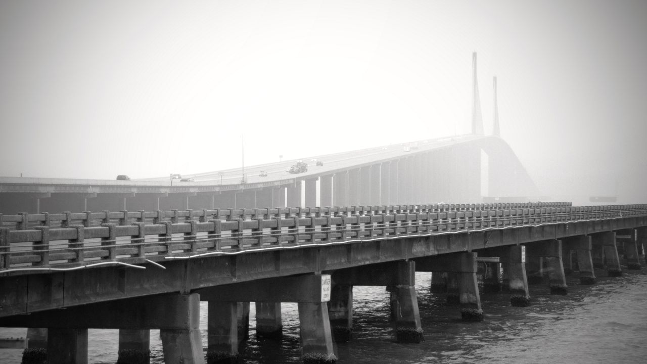
- The fog layer is shallow. It is not uncommon for Sunshine Skyway Bridge to rise above the fog.