


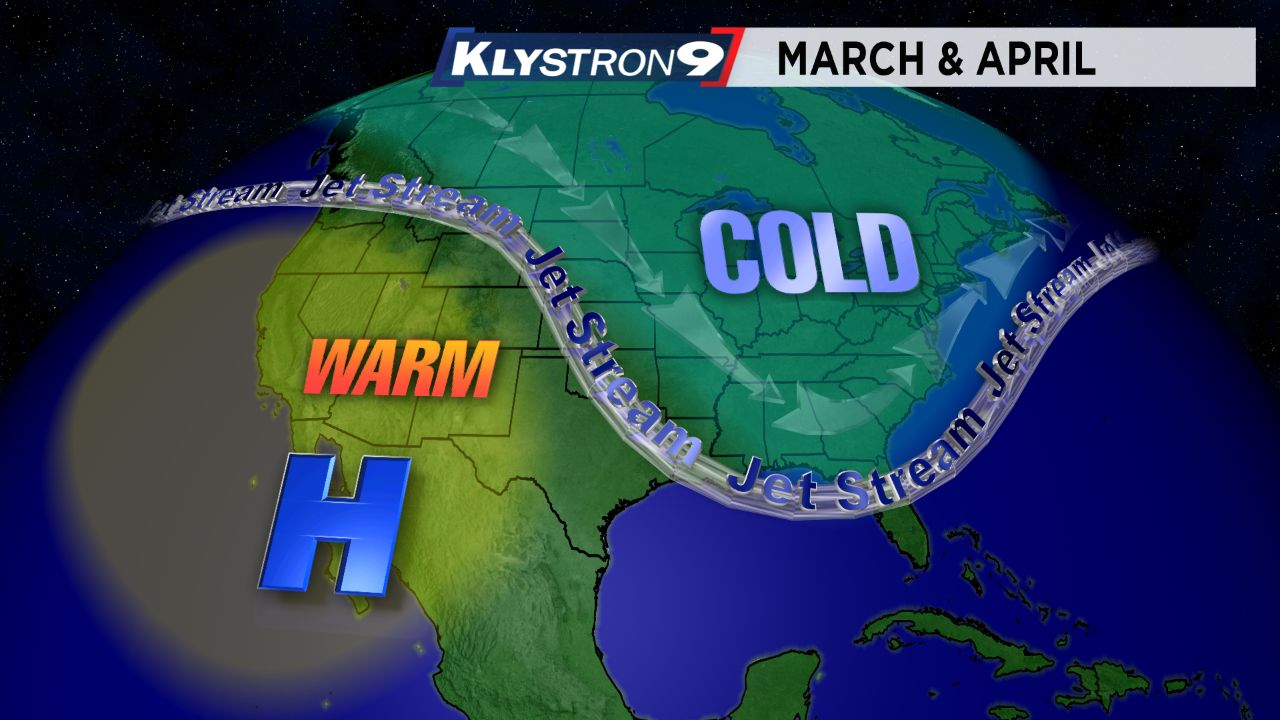
The eastern half of the country had a long run of cool temperatures the past couple months.
The other impressive part was the large area that cool pattern affected.
- Klystron 9 | 7-Day forecast | Tampa Bay-area temperatures | Travel weather
- WEATHER ON THE GO: Download the Spectrum Bay News 9 app and get Klystron 9 alerts wherever you are.
- GET WEATHER ALERTS: Sign up to receive weather text alerts from Spectrum Bay News 9
From the Plains, to the Midwest, to the Great Lakes, to the Northeast, to the Southeast, and even right here in Florida temperatures were routinely cool. Most of the Midwest and Great Lakes areas had their coolest April on record.
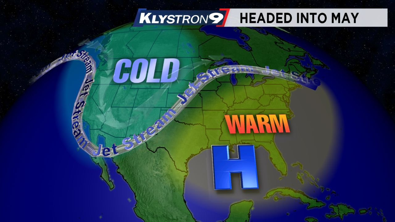
The jet stream routinely dipped into the southeast as cold air moved south from Canada. That pattern is finally changing as we head into May.
The jet stream is already showing signs of dipping into the western part of the country instead of the east and high pressure is building into the southeastern U.S., allowing for warmer air to build into the eastern U.S.
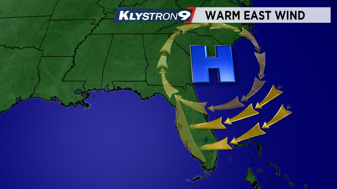
At the same time we have a pattern shift on a local scale also. A surface high pressure has shifted and is sitting just to our northeast.
That is resulting in a wind from the east off the Atlantic.
This is a huge factor in controlling our local temperatures. Last week we had a wind from the west off the Gulf and since the Gulf water temperatures are still cool, that wind resulted in cooler daytime highs for the Tampa Bay area.
With a wind from the east this week, the opposite happens…the other side of the state gets the ‘cooling effect’ from the Atlantic while we get the warmest air pushed to our side of the state.
When you combine the large scale pattern change with this local wind shift it results in an impressive warmup for our area. So it shouldn’t be a surprise that our highs will be in the upper 80s most of this week, with some spots around 90.
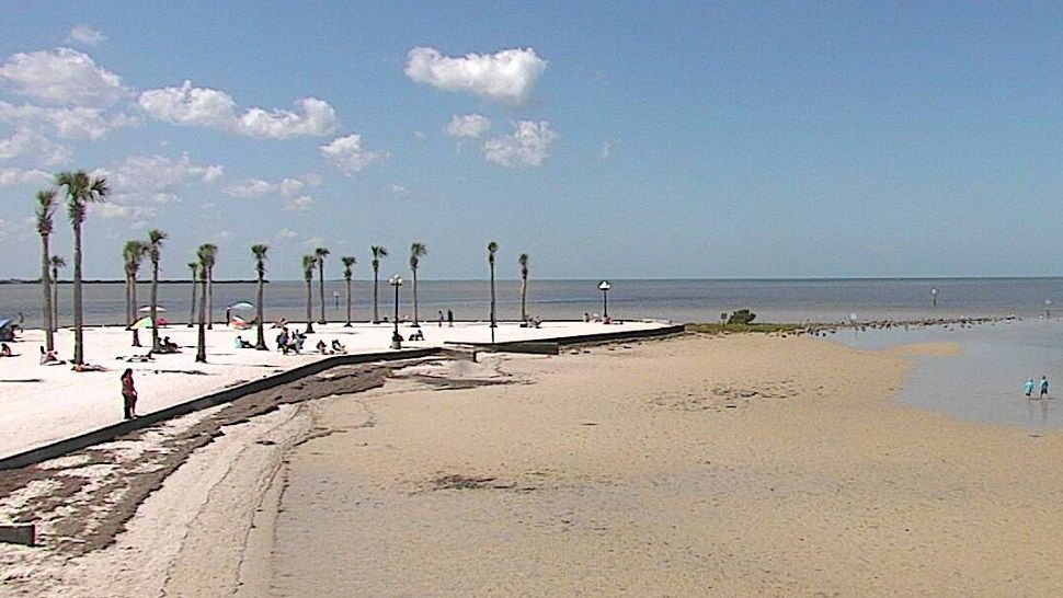
Even though it’s a much warmer pattern, the humidity still remains low which is why it feels comfortable in the mornings and evenings and not muggy like June through September.