


ST. PETERSBURG, Fla. -- Florence will pick up forward speed tonight but is still causing flooding rains in North Carolina.
- Muggy overnight
- Lows in the mid-70s inland
- Rain chances increase mid-week
Rivers will stay above flood stage for a long time. Many will crest at record levels.
Wilmington, North Carolina, already broke their record yearly rainfall. Yearly total is up to 86.79 inches. Total so far just from Florence is 23.59 inches.
Just for comparison, the wettest year in Tampa had a total of 76.57 inches.
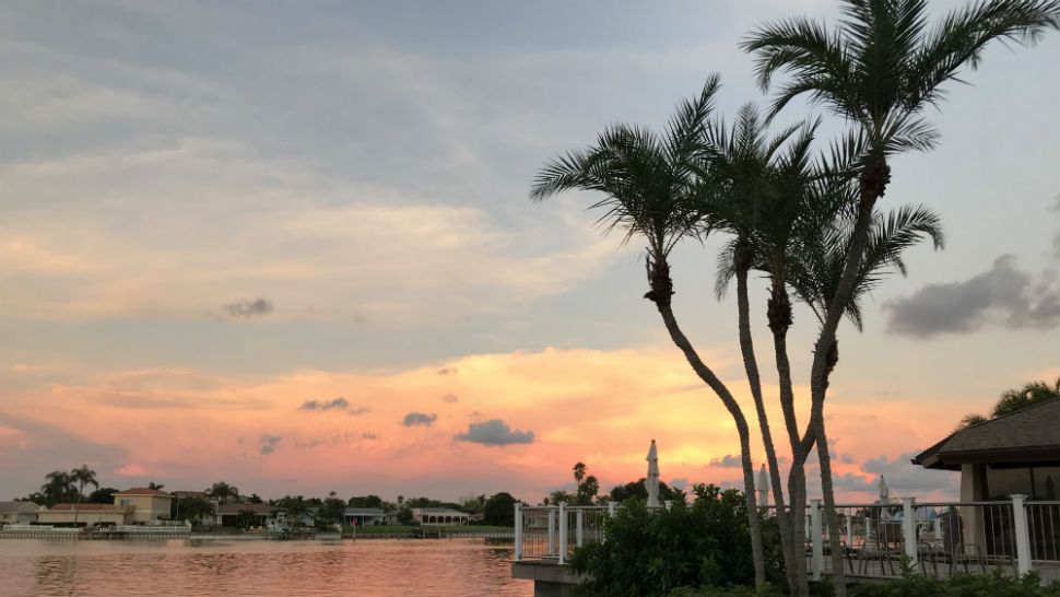
Inland evening storms will end. Overnight will still be muggy as winds shift to the south.
Low temperatures will be in the mid-70s inland to low 80s at the coast.
- WEATHER ON THE GO: Download the Spectrum Bay News 9 app and get Klystron 9 alerts wherever you are.
- GET WEATHER ALERTS: Sign up to receive weather text alerts from Spectrum Bay News 9
- Klystron 9 | 7-Day forecast | Tampa Bay-area temperatures | Travel weather
On Monday, the onshore winds continue. This will keep the air very humid. Showers and some storms will start early at the coast. Storms will move inland through the day. High temperatures will reach from 90 to 92.
Starting Tuesday winds will be light allowing for a sea breeze. Showers and storms will start along the sea breeze mainly in the afternoon and will move very slowly. High temperatures will be in the low 90s and low temperatures in the upper 70s.
On Wednesday, winds will continue to be light. The sea breeze will form early at the coast. Showers are likely to start early along that boundary, maybe around midday Steering winds will be almost nothing, so storms will move very slowly.
By the end of the week, scattered showers and storms will start a little later in the day. Storms could move west toward the coast in the evenings. Highs will still be in the 90s.
7-day forecast

We want your pictures!
Show us what the weather looks like in your neighborhood. Your photo could end up on Spectrum Bay News 9.
- Get the Spectrum Bay News 9 app for iOS or Android
- Tap "Submit Content" at the bottom of the app menu
- Remember to include your name and location