


ST. PETERSBURG, Fla. — Hurricane Michael is now an extremely dangerous category 4 hurricane with maximum sustained winds of 130 mph.
- TRACKING THE TROPICS: Watches, warnings, forecasts, spaghetti models
- RELATED: Schools Monitor Storm For Possible Closings
- RELATED: Where to Find Sandbags in Bay Area
- LIVE: Watch Spectrum Bay News 9 online
- SIGN UP: Alerts about Hurricane Michael
- Watch our Tropics updates each hour at :49
- Tropical Storm Nadine forms in eastern Atlantic. No threat to land right now.
Michael is located 180 miles south-southwest of Panama City.
Some strengthening is possible before the storm makes landfall later today.

A Storm Surge Warning is in effect for...
- Okaloosa/Walton County Line Florida to Anclote River Florida
A Storm Surge Watch is in effect for...
- Anclote River Florida to Anna Maria Island Florida, including Tampa Bay
- Alabama/Florida border to Okaloosa/Walton County Line Florida
A Hurricane Warning is in effect for...
- Alabama/Florida border to Suwannee River Florida
A Hurricane Watch is in effect for...
- Alabama/Florida border to the Mississippi/Alabama border
A Tropical Storm Warning is in effect for...
- Alabama/Florida border to the Mississippi/Alabama border
- Suwanee River Florida to Chassahowitzka Florida
- The Cuban province of Pinar del Rio
A Tropical Storm Watch is in effect for...
- Chassahowitzka to Anna Maria Island Florida, including Tampa Bay

For the Panhandle:
There will be massive power outages, a destructive storm surge along the coast, and major damage to structures.
It could take weeks and even months in some cases to recover along the path of this storm.
For the Tampa Bay region:
Our main issue will be intermittent rain squalls with embedded gusty winds inside the squalls.
The winds will gust into the 40 to 50 miles per hour range when the rain bands pass through.
There is a chance for some isolated tornadoes to come through the area.
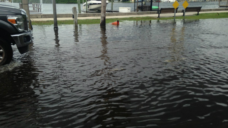
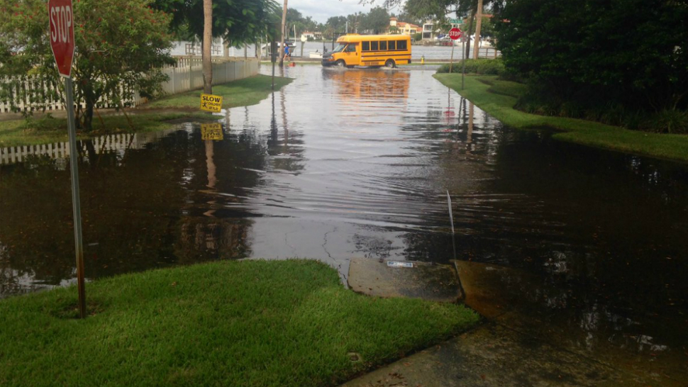
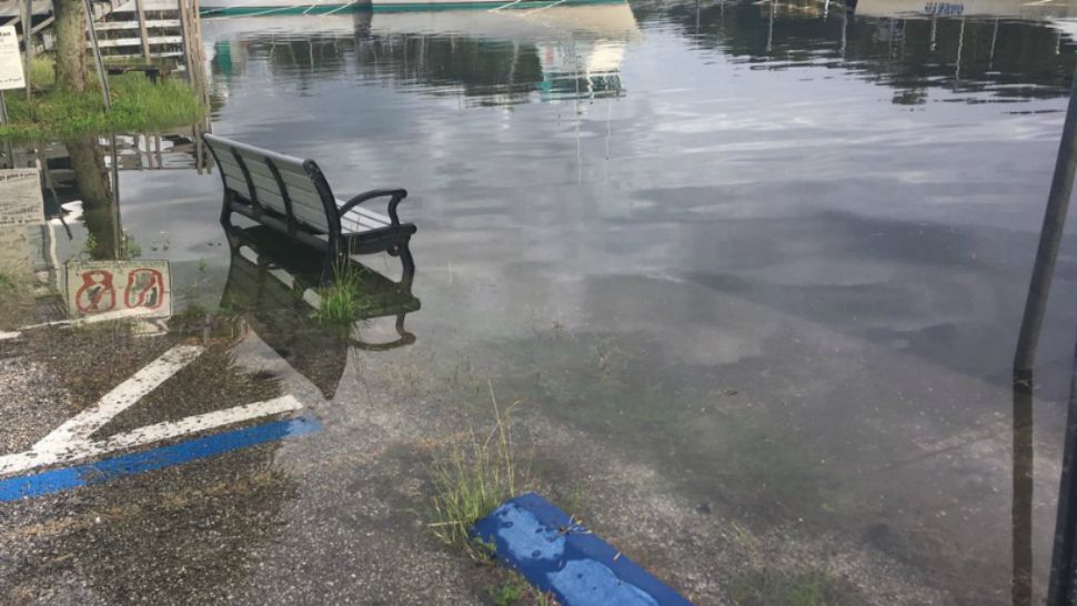
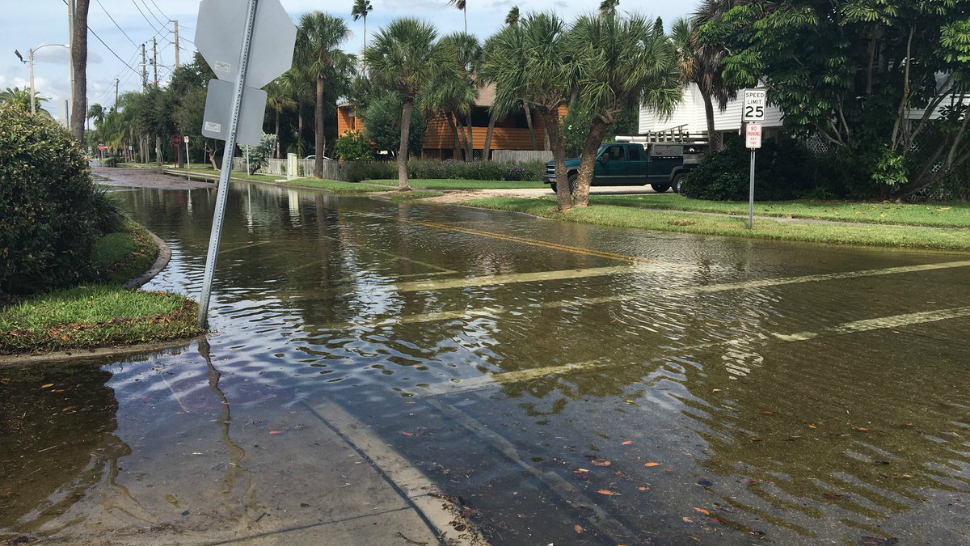
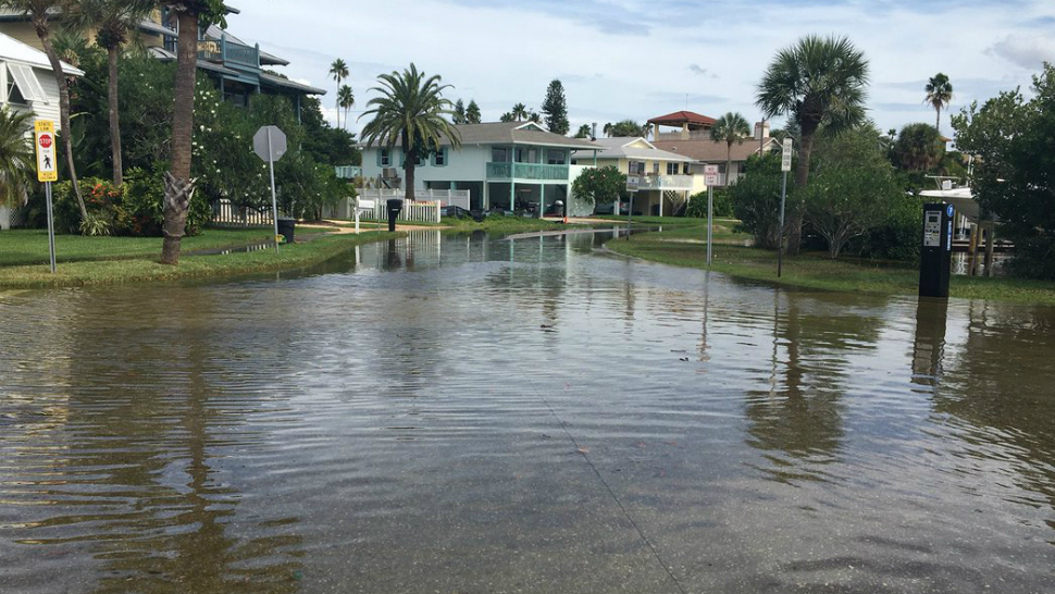
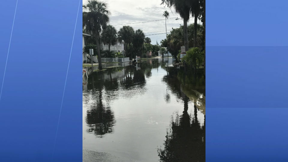
Our tide levels will be about 2 to 4 feet above normal, so expect more coastal flooding again during times of high tide on Wednesday afternoon. Coastal areas from northern Hernando into Citrus County will have tides that run 4 to 6 feet above normal.
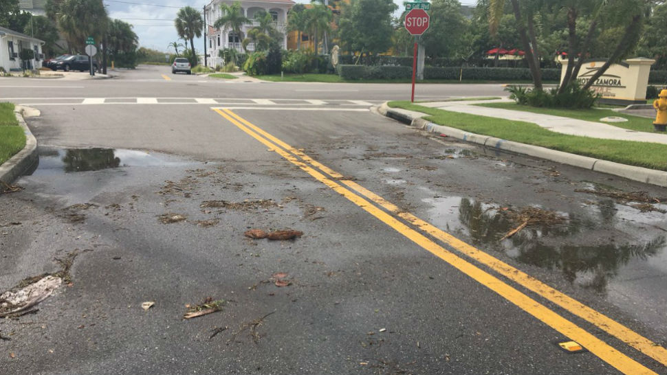
The heaviest rain totals will be in coastal areas where the rain bands come ashore. Luckily the more persistent rains will stay just offshore in the Gulf of Mexico.
Because of Michael's forward speed, angle of approach and the geography of Florida, storm surge is going to be a big problem from the landfall point eastward through the Big Bend of Florida. Southward along the coast into the Nature Coast and Tampa Bay Area, water levels will be higher than normal and there will be some coastal flooding especially in flood prone areas north of Tampa Bay.
Putting an exact number on how much above normal the water will rise is very difficult at this point but 1 to 3 feet seems like a reasonable estimate for Coastal Pinellas, Pasco, and Tampa Bay. Two to 4 feet for Hernando and most of the Citrus coast. But, around NW Citrus County where the coastline "bends" back to the NW, water levels could be higher along the coast.
After Michael pulls away, a shear axis may be left in place across Central Florida, leading to a round of heavier thunderstorms on Thursday.
Coastal locations prone to flooding will need to be prepared for Wednesday's early AM, Afternoon high tide, and Thursday's AM high tide. The tides are running above astronomical norms anyway.
