


ST. PETERSBURG, Fla. — A few lingering scattered storms inland east of I-75 will die down with partly cloudy to mostly clear skies into early Saturday morning.
- Warmer, more humid
- Few thunderstorms
- Front Tuesday
- SEE BELOW: See our 7-day forecast ▼
There will be some areas of patchy fog in spots, but it will quickly burn off after sunrise.
Morning lows will be in the 60s to near 70.
There could be some scattered storms in the panhandle that try to move south toward us Saturday morning.
Otherwise, expect a mix of sun and clouds with mainly afternoon to evening isolated thunderstorms in the that drift inland. The coverage will be at about 20 percent.
Highs will be warm, topping out in the mid to upper 80s, except for the beach where it will stop near 80.
- WEATHER ON THE GO: Download the Spectrum Bay News 9 app and get Klystron 9 alerts wherever you are.
- GET WEATHER ALERTS: Sign up to receive weather text alerts from Spectrum Bay News 9
- Klystron 9 | 7-Day forecast | Tampa Bay-area temperatures | Travel weather
Any lingering storms Saturday evening will be inland. Otherwise, the rest of the area will be mostly clear and warm, with lows in the 60s to near 70.
Sunday will feature a mix of sun and clouds and highs again in the mid to upper 80s. There will be a couple of spots that approach 90.
There will be some afternoon to evening scattered storms that drift back closer to the coast. The coverage will be at about 30 percent.
Monday will feature an increase in southerly winds and an increase in moisture as a result. That will lead to a 40 percent coverage of scattered storms.
The best chance of rain will sweep through Tuesday with the next front.
7-day forecast

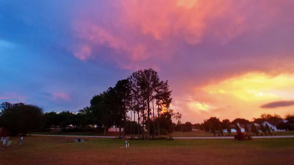
We want your pictures!
Show us what the weather looks like in your neighborhood. Your photo could end up on Spectrum Bay News 9.
- Get the Spectrum Bay News 9 app for iOS or Android
- Tap "Submit Content" at the bottom of the app menu
- Remember to include your name and location