


ST. PETERSBURG, Fla. — The push of moisture came through Monday, and now there is a front stalled just to our north.
- Lower rain chance Monday night
- Few storms possible Tuesday
- Drier pattern ahead
- SEE BELOW: See our 7-day forecast▼
Skies will be partly cloudy into early Tuesday morning.
Lows will be in the low to mid 70s.
The drier air hasn’t moved in just yet, so expect that more showers and storms will move through for Tuesday, especially during the first half of the day.
That drier air is moving in from the north, so there will be a range of rain chances from only 10 percent from Citrus County northward, about 40 percent for Hernando and Pasco County, but still at about 60 to 70 percent from the Bay southward.
Highs will be in the mid-80s for Tuesday. Skies will go partly sunny in the afternoon with most of the showers and storms moving out.
- WEATHER ON THE GO: Download the Spectrum Bay News 9 app and get Klystron 9 alerts wherever you are
- GET WEATHER ALERTS: Sign up to receive weather text alerts from Spectrum Bay News 9
- Klystron 9 | 7-Day forecast | Tampa Bay-area temperatures | Travel weather
Drier air will then move in Tuesday night into Wednesday.
Lows will be in the upper 60s to low 70s.
Wednesday will be much drier with only a few isolated showers. Otherwise it will be partly cloudy to mostly sunny with highs in the upper 80s.
Thursday and Friday will be dry with comfortable lows at night in the 60s to low 70s.
Highs during the day though will still make it to the upper 80s to low 90s as it will be mostly sunny both days.
Previous time stamped updates:
- Klystron 9 radar
- Neighborhood radars
- Stream weather LIVE on BN9 app
- TECO outage map
- Duke Energy outage map
2:50 p.m. — Power outages in Pinellas County:
- Duke Energy - 425 customers
- TECO - 3,095 customers
2:30 p.m. — Flood advisory issued for central Pinellas County in West Central Flordia and central Hillsborough County in West Central Florida until 4 p.m..
Some locations to experience flooding:
- Tampa
- Clearwater
- Largo
- Pinellas Park
- Temple Terrace
- Seminole
- Downtown St. Pete
- St. Pete
- Brandon
- St. Pete Beach
- South Highpoint
- Palm River-Clair Mel
- Tampa Internation Airport
- East Lake-Orient Park
- Riverview
- West and East Lealman
- Ridgecrest
- Bay Pines
- MacDill Air Force Base
2:20 p.m. — Klystron 9 is tracking strong thunderstorms along a line extending from near Temple Terrace to 15 miles west of Bay Pines to 50 miles west of Anna Maria. Movement is E at 35 mph. Wind gusts in excess of 40 mph will be possible with these storms.
2 p.m. — Update at 2:07 pm Klystron 9 shows heavy thunderstorms in Pinellas and Hillsborough Counties moving ENE.
12 p.m. — A flood advisory has been issued for Northwestern Pasco County and Southwestern Hernando County as storms move through the Bay Area. The flood advisory is until 1:45 p.m.
Some locations that are expected to experience flooding include:
- Spring Hill
- Brooksville
- Hudson
- Weeki Wachee
- Hill n Dale
- Hernando County Airport
- Timber Pines
- South Brooksville
- Darby
- Shady Hills
- Weeki Wachee Acres
- Garden Grove
- Bayonet Point
- Masaryktown
7-day forecast

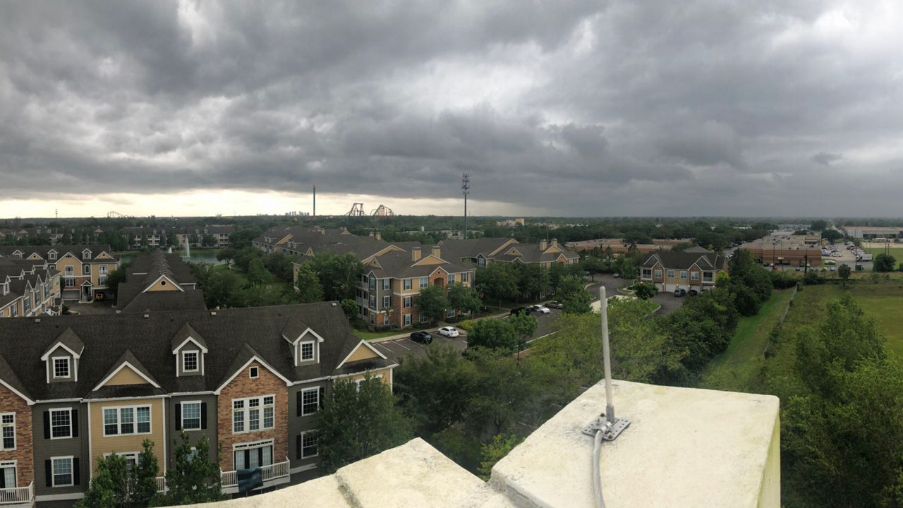
We want your pictures!
Show us what the weather looks like in your neighborhood. Your photo could end up on Spectrum Bay News 9.
- Get the Spectrum Bay News 9 app for iOS or Android
- Tap "Submit Content" at the bottom of the app menu
- Remember to include your name and location