


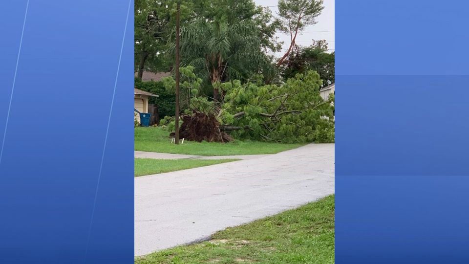
ST. PETERSBURG, Fla. — We had a big batch of storms across the region today. This was the last big push of moisture from the Gulf.
- Few AM showers
- Pattern shift
- Drier for a few days
- SEE BELOW: See our 7-day forecast ▼
Now moving forward we will see lower rain chances as drier air moves toward us the next couple days.
In the meantime we will still have some lingering scattered showers overnight into early Thursday morning.
Otherwise it will be partly cloudy with lows in the mid 70s inland and upper 70s near the coast.
We will have some morning scattered showers in the region with partly cloudy skies for Thursday. But that will then be followed by more sunshine in the afternoon with only an isolated chance of a thunderstorm. The coverage overall will be lower than we have seen in a while, dropping to the 20 to 30 percent range.
- WEATHER ON THE GO: Download the Spectrum Bay News 9 app and get Klystron 9 alerts wherever you are
- GET WEATHER ALERTS: Sign up to receive weather text alerts from Spectrum Bay News 9
- Klystron 9 | 7-Day forecast | Tampa Bay-area temperatures | Travel weather
Highs will be in the low 90s.
Thursday night will be mostly clear with lows in the upper 70s.
Friday will be mostly dry and sunny with only a 20 percent chance of an isolated thunderstorm and the best chance of that will be in Citrus, Hernando, or Polk county late that day.
Highs will be in the low 90s Friday.
7-day forecast

We want your pictures!
Show us what the weather looks like in your neighborhood. Your photo could end up on Spectrum Bay News 9.
- Get the Spectrum Bay News 9 app for iOS or Android
- Tap "Submit Content" at the bottom of the app menu
- Remember to include your name and location