


ST. PETERSBURG, Fla. — The tropical low in the gulf is the main story right now and will continue to be for the next couple days even though it has very little to do with our weather. Its proximity to us will have an indirect impact on our weather by keeping us in a southerly breeze.
- Tropical low moving west
- Southerly breeze
- Scattered storms pattern
- SEE ALSO: Potential Tropical Cyclone In Gulf To Move To West
- SEE BELOW: See our 7-day forecast ▼
That will keep lots of moisture in our atmosphere and continue to allow for numerous scattered showers and storms even though the low is moving far away from us.
Expect partly cloudy skies with a few scattered storms overnight into early Thursday morning.
Lows will be in the mid to upper 80s.
Scattered storms will again start coming in from the Gulf in the morning and spread out across the region through the day.
The coverage by the end of the day will end up being around 60 percent even though it will not rain all day in any one spot.
Highs will again be slightly below average in the upper 80s.
- WEATHER ON THE GO: Download the Spectrum Bay News 9 app and get Klystron 9 alerts wherever you are
- GET WEATHER ALERTS: Sign up to receive weather text alerts from Spectrum Bay News 9
- Klystron 9 | 7-Day forecast | Tampa Bay-area temperatures | Travel weather
With the southerly breeze we'll continue to have plenty of atmospheric moisture so that will lead to numerous scattered storms again Friday, but they'll start a little later in the day but end up being heavier because of that.
Highs will be in the upper 80s to near 90.
This weekend is when we'll get back to a sunnier and hotter forecast. Slightly drier air in the upper atmosphere will move in, resulting in more sunshine, less cloud cover and mainly just afternoon to evening scattered storms...which is our more typical pattern.
The coverage will therefore be back down to about 40 percent. But keep in mind that any storms we get will be very heavy with huge amounts of lightning.
Highs will go back to the low 90s this weekend.
That will be the case into next week also...a more typical pattern of light breezes, sunny mornings, hot highs in the low 90s, and about a 40 percent coverage of afternoon to evening scattered storms each day.
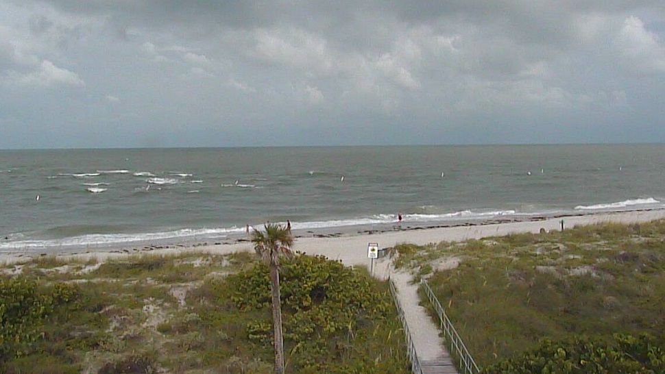
The boating forecast for Thursday will again feature a slightly breezy wind from the south at 15 knots. Seas will run 3 to 4 feet. Bay and inland waters will have a moderate chop. The tropical low will be moving farther away the next couple days but it will still result in higher than normal seas through the end of the week.
7-day forecast

We want your pictures!
Show us what the weather looks like in your neighborhood. Your photo could end up on Spectrum Bay News 9.
- Get the Spectrum Bay News 9 app for iOS or Android
- Tap "Submit Content" at the bottom of the app menu
- Remember to include your name and location