


ST. PETERSBURG, Fla. — Evening thunderstorms will end. Skies will be mostly cloudy with lows in the mid-70s through morning.
- Barry into Louisiana
- RELATED: Barry stronger on approach to Louisiana coast
- Drier pattern ahead
- Hotter temperatures
- SEE BELOW: See our 7-day forecast ▼
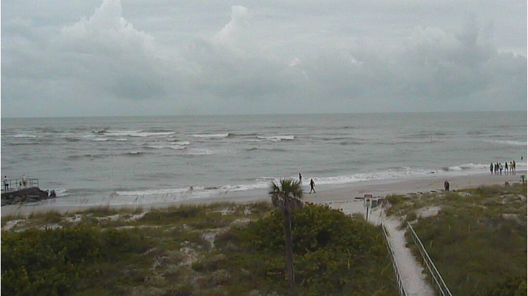
Tropical Storm Barry in the northern Gulf is moving away from us so it will not have any direct impact to our weather, other than rip currents. But it is close enough to keep lots of moisture in our atmosphere, which is why we continue to see lots of clouds.
This weekend is when we will finally get back to a more typical summer pattern. There will be more sunshine during the first half of the day Saturday with scattered storms Saturday afternoon-evening. Highs will get back to the low 90s.
Saturday will still be mostly cloudy to partly sunny. But any thunderstorms will hold off until afternoon. So afternoon temperatures will be higher, into the 90s.
- WEATHER ON THE GO: Download the Spectrum Bay News 9 app and get Klystron 9 alerts wherever you are
- GET WEATHER ALERTS: Sign up to receive weather text alerts from Spectrum Bay News 9
- Klystron 9 | 7-Day forecast | Tampa Bay-area temperatures | Travel weather
Sunday will also have a sunny morning followed by scattered storms later in the day.
The coverage of storms will go back down to about 30 percent at that time.
Next week looks like a very normal summer pattern of sunny mornings followed by scattered storms each afternoon to evening.
It will be hot and humid each day with highs in the low 90s.
Lows at night will be in the mid to upper 70s.
The coverage of storms will vary slightly from day to day but in general be around 40 percent each day.
Tropics
Barry remained disorganized this afternoon as the center actually was an open swirl with no rain around it for many hours.
Now it’s starting to come back together, but that helped keep it disorganized a little longer.
That’s good news because the longer it can stay disorganized the shorter amount of time they will get the heavy rains in Louisiana.
However, the center will likely get just organized enough to pull the heavy rain into Louisiana tonight into early Saturday and it could barely reach hurricane status before making landfall.
But regardless of status, the main impact continues to be heavy rain and the possibility of flooding.
For our area, Barry will move far enough away to not have an impact on our weekend weather. We will return to more typical summer weather with hotter conditions and fewer scattered storms.
7-day forecast

We want your pictures!
Show us what the weather looks like in your neighborhood. Your photo could end up on Spectrum Bay News 9.
- Get the Spectrum Bay News 9 app for iOS or Android
- Tap "Submit Content" at the bottom of the app menu
- Remember to include your name and location