


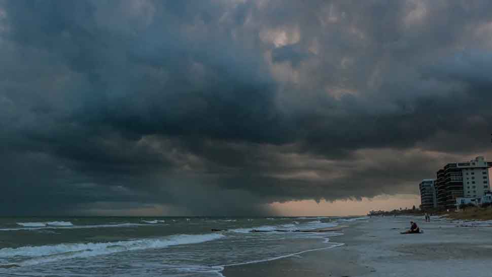
ST. PETERSBURG, Fla. — Evening thunderstorms end, then skies will be mostly cloudy with lows in the mid 70s through morning.
- RELATED: Barry stronger on approach to Louisiana coast
- Drier pattern ahead
- Hotter temperatures
- SEE BELOW: See our 7-day forecast ▼
The pattern is finally getting back to a more typical summer pattern. Thunderstorms will be in the afternoon along the sea breezes, ending in the evening. High temperatures will be back into the 90s though.
Sunday will also have a partly sunny morning, followed by a few storms later in the day.
With a little more dry air overhead, the coverage of storms will go back down to about 30 percent.
- WEATHER ON THE GO: Download the Spectrum Bay News 9 app and get Klystron 9 alerts wherever you are
- GET WEATHER ALERTS: Sign up to receive weather text alerts from Spectrum Bay News 9
- Klystron 9 | 7-Day forecast | Tampa Bay-area temperatures | Travel weather
Storms will end Sunday evening. Lows overnight will be from the low 70s inland and north to mid to upper 70s around Tampa Bay.
On Monday, the dry air lingers over Florida. The morning will be partly sunny.
As the sea breezes form in the afternoon, a few showers and storms will develop. Those will end during the evening.
The coverage through the day will again be below normal at around 30 percent. Highs will be in the low to mid 90s.
Tuesday through the work week looks like a very normal summer pattern of some sun in the mornings, followed by scattered storms each afternoon to evening on the sea breezes. It will be hot and humid each day, with highs in the low 90s. Winds will be light.
Lows at night will be in the mid to upper 70s.
7-day forecast

We want your pictures!
Show us what the weather looks like in your neighborhood. Your photo could end up on Spectrum Bay News 9.
- Get the Spectrum Bay News 9 app for iOS or Android
- Tap "Submit Content" at the bottom of the app menu
- Remember to include your name and location