


ST. PETERSBURG, Fla. — A FLOOD WARNING has been issued for Northwestern Citrus County, in effect until 6 a.m. Saturday.
At 5:53 p.m. Emergency Management reported flooding in Levy County, with SR-24 closed from CR-345 to U.S. 27 and CR-326 closed between CR 337 and U.S. 19. Rainfall amounts of four to nine inches have fallen over the past couple of days.
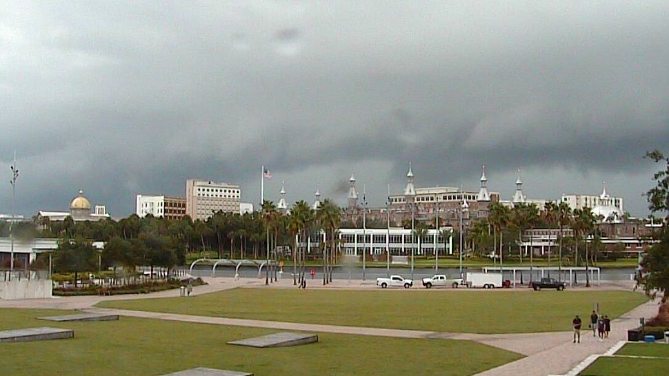
Showers and a few thunderstorms are expected to redevelop tonight and Saturday, with locally heavy rain likely, which will exacerbate ongling flooding.
Some locations that will experience flooding include Homosassa Springs, Homosassa, Inglis, Citronelle, Crystal Manor, Manatee Springs State Park, Lebanon and Citrus Springs.
- Flood Watch extended through Saturday a.m.
- Rip current risk on beaches through midday Saturday
- Slow pattern change this weekend
- SEE BELOW: See our 7-day forecast ▼
- CALCULATE: How hot can your vehicle get? ▼
Expect areas of localized flooding for the next 24 hours in low-lying, poor drainage areas if you receive more heavy rain. The ground is saturated and as a result the rains are taking longer to drain off.
It was so cloudy and wet today that our temperatures dropped into the 70s and that’s where they will stay overnight into early Saturday.
Saturday will still feature mostly cloudy skies, but the heaviest rains will be near the coast and northern counties. In other words, from the Bay north will have the wettest weather for Saturday with lower rain chances the farther east and south you are.
Highs will again be held below average in the mid to upper 80s.
The rain will tend to decrease in coverage into Saturday evening with lows in the 70s.
- WEATHER ON THE GO: Download the Spectrum Bay News 9 app and get Klystron 9 alerts wherever you are
- GET WEATHER ALERTS: Sign up to receive weather text alerts from Spectrum Bay News 9
- Klystron 9 | 7-Day forecast | Tampa Bay-area temperatures | Travel weather
Sunday will feature mostly cloudy to partly sunny skies and a lower rain coverage. There will still be scattered showers and storms, but it won’t be nearly as wet as we’ve seen lately.
Highs will be in the upper 80s. Monday will finally be the first day in a long time that we get back to a more traditional pattern of sunshine followed by late day scattered storms.
That also means it will be hotter with highs back around the low 90s.
The coverage of storms will only be at about 30 percent.
From the middle to the end of next week the coverage of late day storms will go up to 50 to 60 percent.
High temperatures from mid to late next week will be in the low 90s.
7-day forecast

We want your pictures!
Show us what the weather looks like in your neighborhood. Your photo could end up on Spectrum Bay News 9.
- Get the Spectrum Bay News 9 app for iOS or Android
- Tap "Submit Content" at the bottom of the app menu
- Remember to include your name and location