


ST. PETERSBURG, Fla. — A few showers will end this evening, then skies will clear out again overnight with a breeze from the east.
Morning lows will be in the mid to upper 70s.
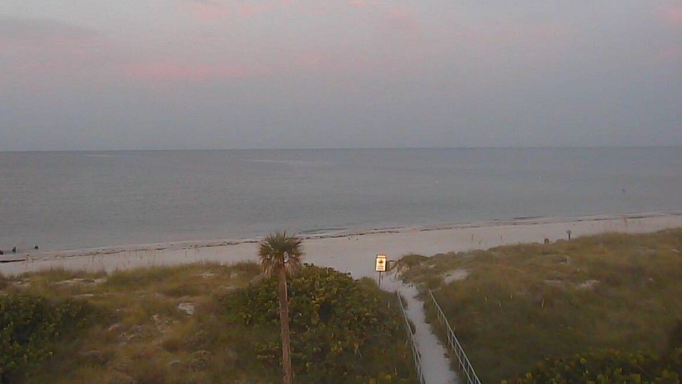
- Easterly breeze
- Watching tropical low
- Weekend forecast changing
- SEE BELOW: See our 7-day forecast ▼
- CALCULATE: How hot can your vehicle get? ▼
Friday will start quiet, but higher rain chances are on the way for the afternoon.
Expect skies to start mostly sunny, but then go mostly cloudy with a 50 percent coverage of scattered storms in the afternoon to evening. Storms will move west toward the Gulf of Mexico.
Highs will be slightly lower near 90.
- WEATHER ON THE GO: Download the Spectrum Bay News 9 app and get Klystron 9 alerts wherever you are
- GET WEATHER ALERTS: Sign up to receive weather text alerts from Spectrum Bay News 9
- Klystron 9 | 7-Day forecast | Tampa Bay-area temperatures | Travel weather
The storms will die down or move out for Friday night with lows in the mid to upper 70s.
Saturday will be very similar with partly sunny skies and a 60 percent coverage of scattered showers and storms moving westward toward the gulf. Highs will be in the upper 80s.
There will be a noticeable breeze from the east that continues.
Sunday will be partly sunny, but if the tropical system stays east of Florida then the bulk of the rain will stay to our east. If the system tracks over Florida, it will be weaker and will bring us higher chances for rain.
Next week will likely dry out again with the Bay area on the backside of this tropical low.
However, that forecast could change depending on how this plays out over the weekend.
The boating forecast for Friday will feature a wind from the east at 15 to 20 knots. Seas will run 2 to 5 feet, highest offshore. Bay and inland waters will go choppy.
TROPICS
In the tropics, all eyes are on the tropical low in the Bahamas. Hurricane hunters are down there right now flying through the low and all signs are pointing toward it developing into a depression or storm soon.
We expect it to move northwestward slowly the next couple of days, which could bring it close to the east coast of Florida this weekend. Then after that is where the models diverge, with some of them taking it north while others just drift it across the state.
If it drifts across the state it will stay weak, but if it drifts north and stays over the Atlantic it will likely strengthen.
For our weather it has implications because it could mean the difference between a wetter or drier forecast, especially from Sunday onward.
7-day forecast

We want your pictures!
Show us what the weather looks like in your neighborhood. Your photo could end up on Spectrum Bay News 9.
- Get the Spectrum Bay News 9 app for iOS or Android
- Tap "Submit Content" at the bottom of the app menu
- Remember to include your name and location