


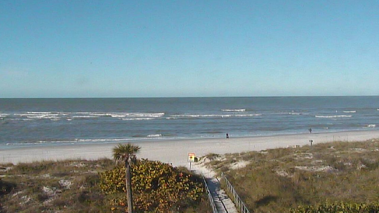
TAMPA, Fla. — Tonight will be even chillier than this morning.
- Chilly Sunday
- Cooler week ahead
- SEE BELOW: See our 7-day forecast ▼
With high pressure nearby, winds will stay lightly out of the north. Skies will be clear with dew points in the 30s. So temperatures will drop quickly this evening.
Lows by morning will be in the mid 40s for Tampa to mid 30s for inland Citrus and Hernando Counties. Some patchy frost is possible in these areas by morning.
The atmosphere is dry from top to bottom, so Monday will be sunny, but will only warm into the mid 60s. Winds will be light, so it will feel warm in the sun. The shade will feel chilly. High pressure stays centered in the Gulf.
- WEATHER ON THE GO: Download the Spectrum Bay News 9 app and get Klystron 9 alerts wherever you are
- GET WEATHER ALERTS: Sign up to receive weather text alerts from Spectrum Bay News 9
- Klystron 9 | 7-Day forecast | Tampa Bay-area temperatures | Travel weather
Another front will reinforce the cool air on Tuesday. It will hardly be noticeable as it passes, since winds will stay light. Winds will shift to northerly though. Skies will be mostly sunny to partly cloudy at the most. Highs will be in the upper 60s.
Highs stay in the 60s for Wednesday with some high clouds moving in. It will be breezier though with northeasterly winds.
By Thursday, the high temperatures return to the 70s.
Friday through the weekend will be warm. There will be some small rain chances as the next front nears the area.
7-day forecast

We want your pictures!
Show us what the weather looks like in your neighborhood. Your photo could end up on Spectrum Bay News 9.
- Get the Spectrum Bay News 9 app for iOS or Android
- Tap "Submit Content" at the bottom of the app menu
- Remember to include your name and location