


Showers and thunderstorms are part of the norm during the summertime, especially here in Tampa Bay.
In a normal pattern, our wind flow is generally out of the southeast. Our day starts off with sunshine and temperatures begin to heat up quickly. As temperatures warm, the sea breeze forms and moves inland.
A southeast or east wind converges with a sea breeze boundary and ignites showers and thunderstorms on our coast during the afternoon.
However, in a reverse summer pattern, we get more morning storms than afternoon storms.
This pattern happens when the wind flow is right off the Gulf of Mexico. High pressure is located a bit further south and a trough of low pressure is typically located over the eastern United States.
This results in an onshore wind flow for Tampa Bay. The result is the opposite of our “normal” pattern.
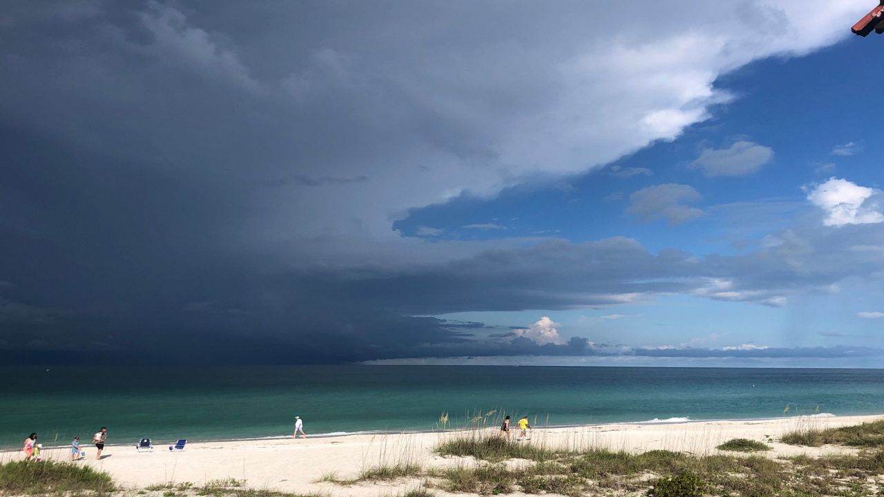
With a west wind, showers and thunderstorms develop over the eastern Gulf of Mexico and move onshore during the morning hours. These storms march steadily across the state before clashing with the East Coast sea breeze, which can often ignite big storms on Florida’s East Coast.
So when you hear our team mention the term “reverse summer pattern” you know to expect showers and storms earlier than a typical summer day on our side of the state.