


The hyperactive Atlantic hurricane season of 2020 is breaking multiple long-standing records simultaneously.
On August 1st, nine tropical cyclones in the Atlantic Basin were given names. Historically, only two named storms form on average by this date.
A week later, NOAA updated their seasonal hurricane outlook to "the most active seasonal forecast that NOAA has produced in its 22-year history of hurricane outlooks." The update increased the number of projected named storms to 25.
As of the end of this month, we've named 23 for the season. There are still two months left of "hurricane season" which officially ends on November 30th.
That's not to say we don't have named storms after that date. In 2005, Tropical Storm Zeta formed on December 30th and lasted until January 6th, 2006.


Earlier this month, on September 14th, the National Hurricane Center (NHC) issued advisories simultaneously for five tropical cyclones over the Atlantic basin (Paulette, Rene, Sally, Teddy, and Vicky).
This ties the record for the most number of tropical cyclones in the basin at one time, previously set in September 1971.
Subtropical Storm Alpha, the first storm on the Greek alphabet, became the farthest eastern forming cyclone in the Atlantic on record. The storm developed just miles offshore the coast Portugal before moving inland.
The NHC also had to truncate the official forecast advisory for Alpha as the storm moved across the prime meridian into the Eastern Hemisphere. They cited that software code isn’t written to understand those eastern longitudinal coordinates and may cause many computers to crash.
While not technically a record, not being able to provide the official forecast because the world’s weather computers may crash is a first (and VERY on theme with 2020).
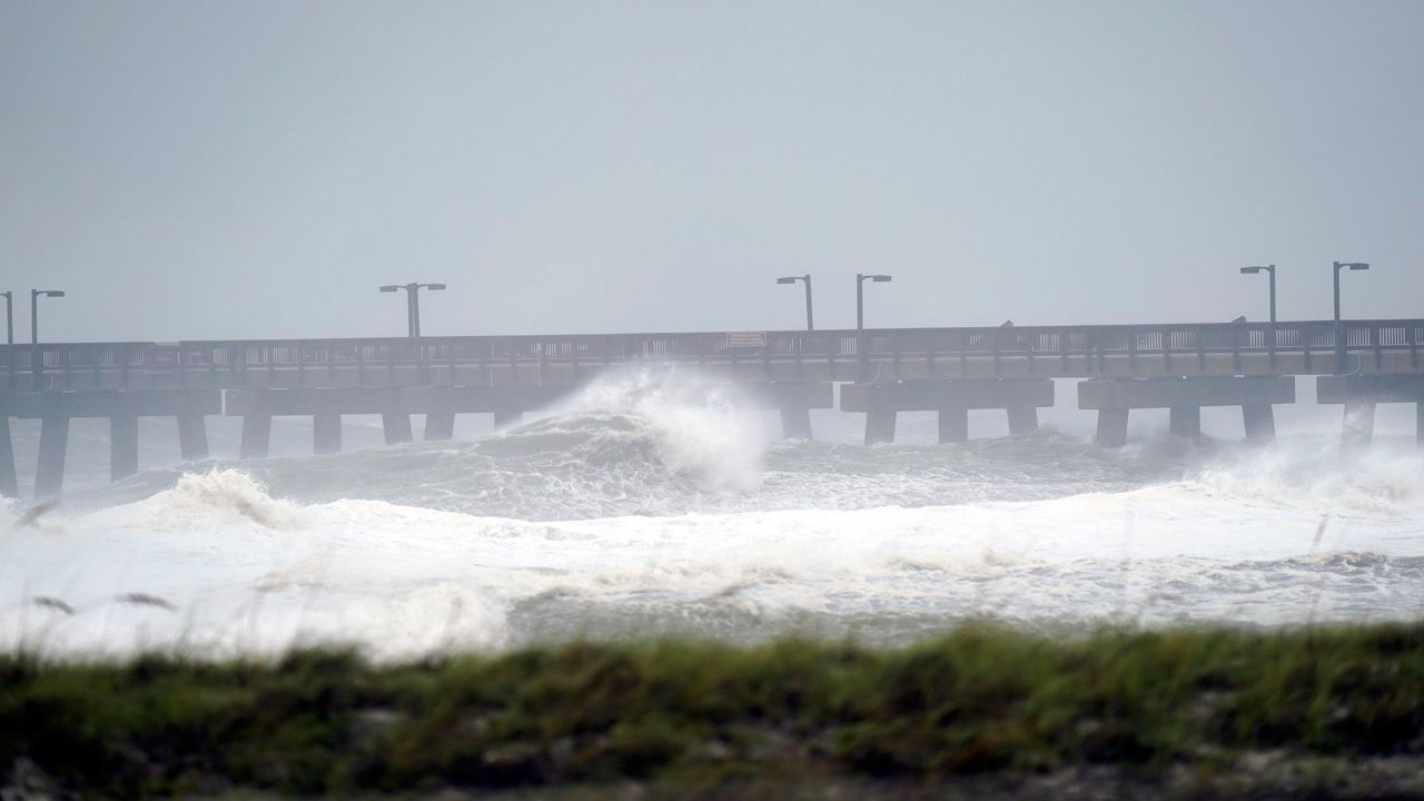
Tropical Storm Beta (the season's 23rd storm) made landfall in Texas on September 21st. It's the ninth named storm to make landfall in the continental US this year, tying 1916 for most landfalling storms in a season.
The forecast originally called for 13-19 named storms in total.
Another record was set just days later, on September 18th. Three storms formed on one calendar day in the Atlantic basin: Wilfred, Alpha, and Beta.
The only other time on record that occurred was on August 15, 1893. Except this time, the three storms formed within seven hours of each other.
Going back 147 years, no other tropical system has formed in the area of the Atlantic where Alpha formed.
There are just five storms to go until 2020 catches up to the 2005 record year where 28 storms were named. In 2005, the storms went as far as Zeta in the Greek alphabet list.
Beyond Zeta, the pronounciations and meanings of storms in certain cultures and languages becomes tricky. Remember Tropical Storm Isis?
That name was retired from the list for obvious reasons.
Will 2020 beat 2005 at the most active season is recorded history? This year's weather pattern has another trick up its sleeve. A La Niña was just declared by NOAA.
La Niña years are associated with more active tropical seasons due to less wind shear in the Atlantic basin where hurricanes form.
Wind shear is the wind moving in different directions at different altitudes. Wind shear typically slices off or “shears” the top of a thunderstorm as it’s trying to develop, hence preventing hurricane development.
With more stable air, the chances for more named storms are quite high.
If history is any indication, hurricane season is a long way from being over, especially with the two week forecast discussion hinting at another flare up of activity in the tropics in early October.