Past the peak of hurricane season, Mother Nature can still bring devastating storms to our shores.
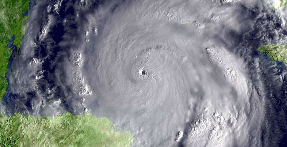
October has brought some of the strongest storms recorded in the Atlantic.
Here are five of the most powerful cyclones to strike the United States during October.
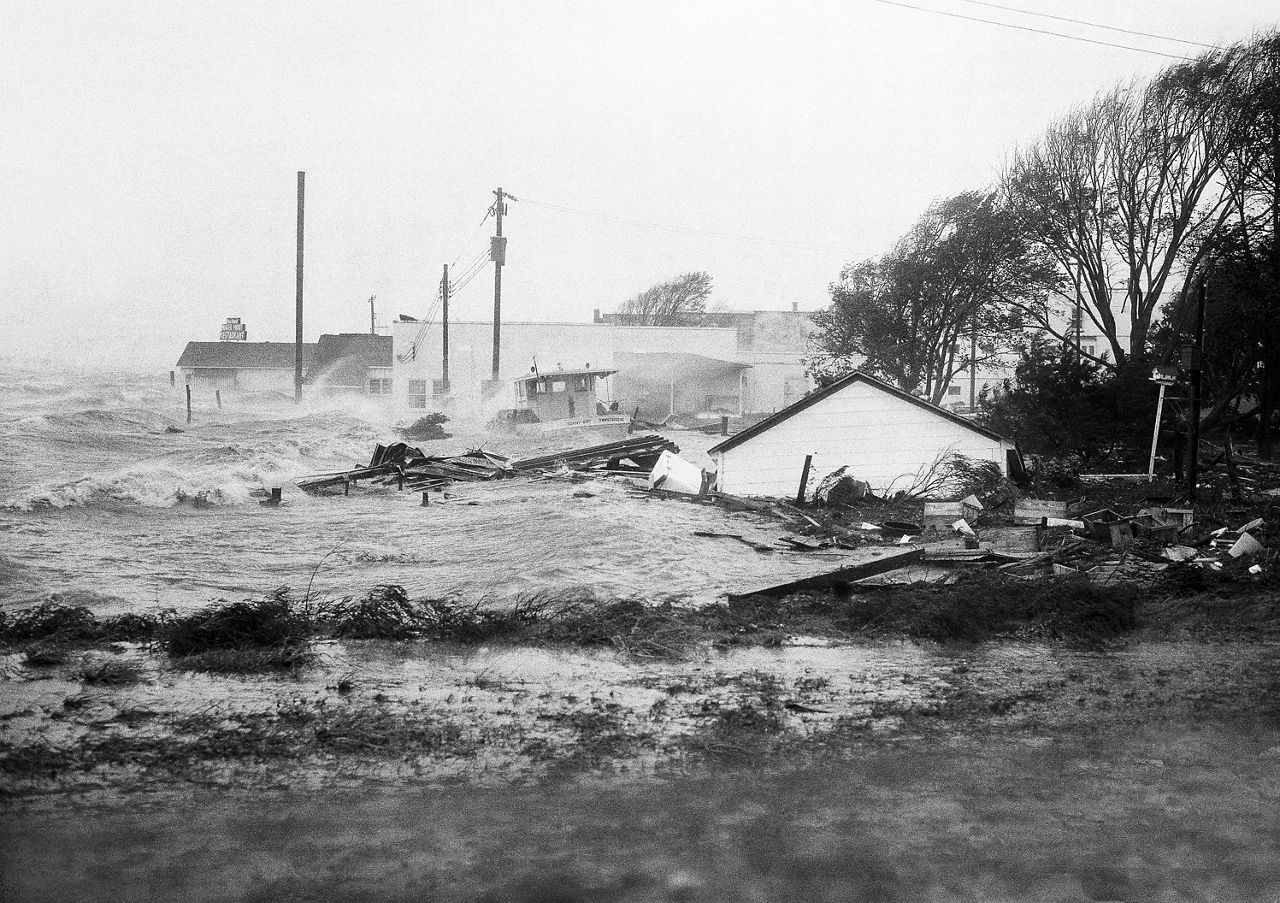
Forming near the Lesser Antilles in early October of 1954, Hazel traversed much of the Caribbean while gaining strength. The storm made landfall in Haiti as a major hurricane, destroying nearly half of the cacao plant on the entire island.
The storm would turn north and intensify over the warm water of the Gulf Stream, slamming into the Carolinas just north of Myrtle Beach as a Category 4 hurricane with winds estimated at 130 mph.
Hazel destroyed piers located well over 100 miles from the center. The Weather Bureau noted in their final report, “all traces of civilization on the immediate waterfront between the state line and Cape Fear were practically annihilated.”
Merging with a front as it moved north, Hazel maintained its intensity and brought violent winds to the Northeast. The Battery in New York City reported a gust of 113 mph, the strongest wind gust ever measured in the city.
The legacy of Hazel lives on. The storm remains the strongest to strike North Carolina, and the only Category 4 to ever do so.
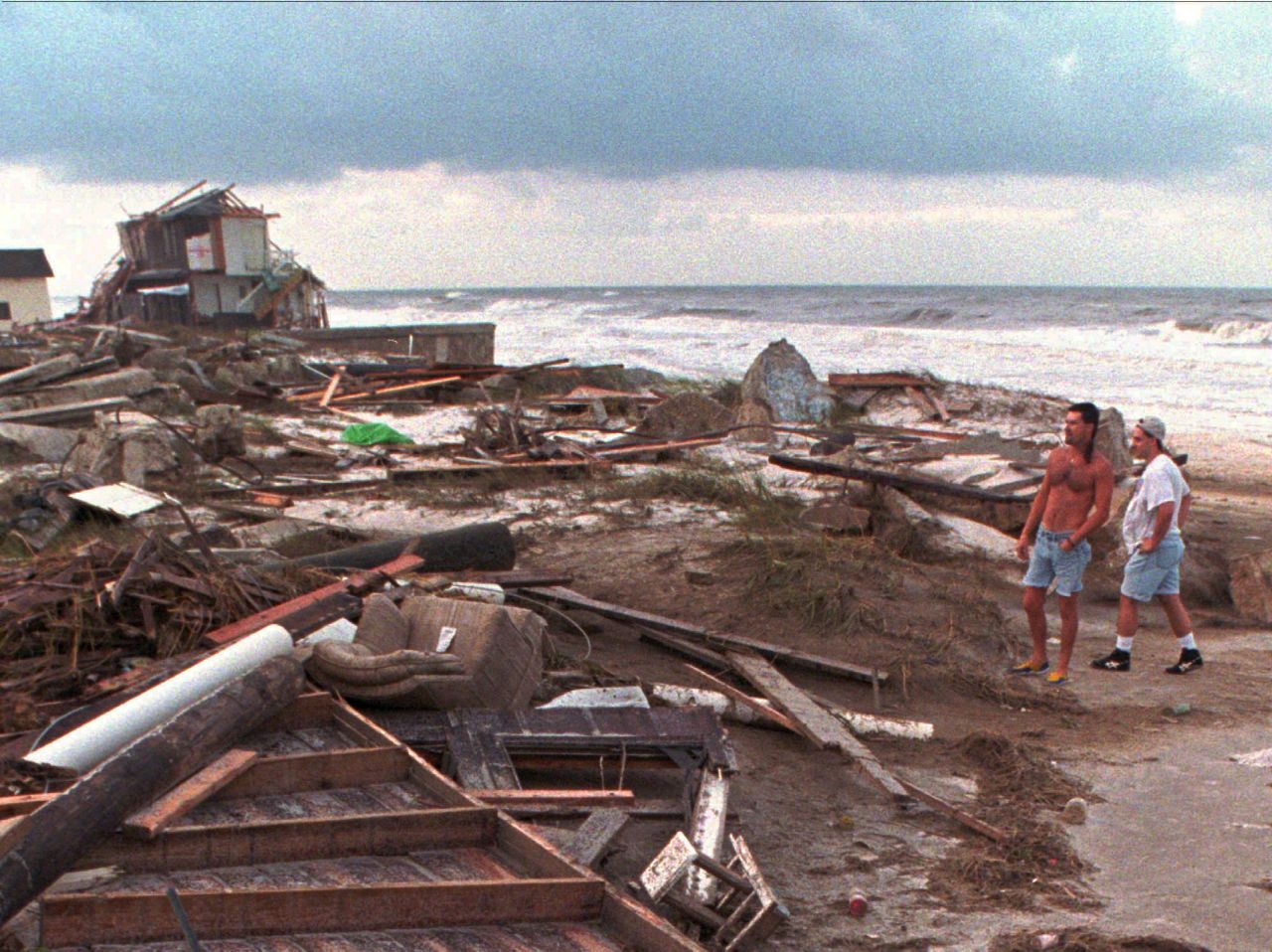
A tropical wave moving over the Yucatán Peninsula of Mexico, Opal was already one of several cyclones in 1994 to target the Gulf Coast.
Taking advantage of unseasonably warm Gulf waters, the storm intensified into a Category 4. An eyewall replacement cycle weakened Opal some, but it remained a major hurricane as it made landfall just east of Pensacola, Florida.
Measurements showed winds gusting as high as 145 mph as the storm moved onshore. Storm surge up to 15 feet inundated miles of the Gulf coastline.
Opal was a rainmaker across the East Coast. In fact, almost everyone east of the Mississippi River recorded at least an inch of rainfall.
Nearly 20” fell in parts of Alabama, leading to water rescues and major flooding. The storm caused mayhem well inland, dumping double-digit rainfall and strong winds in Georgia where the winds knocked over thousands of trees in the Atlanta area as Opal moved through.

From the record-breaking season of 2005, Wilma was a record-breaker. Originating from a tropical wave in the western Caribbean, the large swirl of thunderstorms initially took several days to organize into a tropical storm.
But when it finally did, it was off to the races. Taking advantage of the anomalously warm waters, the storm rapidly intensified as almost no other storm has.
In just 30 hours, Wilma went from a minimal 75 mph hurricane to a monstrous Category 5 with winds of 185 mph.
Hurricane Hunters flying into the storm recorded a central pressure of 882 millibars, the lowest pressure ever recorded in the Western Hemisphere. They also reported the storm had just a 2.3-mile wide eye, the smallest observed in the Atlantic.
Upon making landfall near Cancún, Mexico as a Category 4 storm, Wilma turned northeast, setting its sights on the Florida Peninsula.
Weakening some over Mexico, Wilma re-intensified into a major hurricane before making landfall south of Naples, on the southwest coast of Florida.
Tens of thousands of cars saw water damage as storm surge led to the worst coastal flooding in 40 years to the Florida Keys. The storm brought hurricane-force winds across the peninsula, knocking out power to millions of customers.
When all was said and done, Wilma caused nearly $30 billion in damages and left a lasting impression in the minds of Floridians.

Residents of the Northeast will surely remember Hurricane Sandy, also known as Superstorm Sandy.
Like many October storms, Sandy developed in the Caribbean on October 22, 2012. Organizing into a hurricane, the cyclone made landfalls in Jamaica and Cuba as it moved northward.
As it continued along in the open Atlantic, high pressure centered over Greenland caused Sandy to make an unusual turn back to the west, driving the cyclone onshore near Atlantic City, New Jersey.
While maximum winds at landfall were “only” 80 mph, Sandy was an exceptionally large cyclone. Tropical-storm-force winds extended nearly 500 miles from the center, leading to widespread impacts along the East Coast.
As it moved inland, Sandy set all-time low-pressure records for many cities in the Northeast. Storm surge inundated New York City subways, causing the worst damage in its history.
Being late October, cold air was able to wrap into the system over the Appalachians, dropping up to three feet of snow in West Virginia.
Sandy was one of the top five costliest hurricanes in U.S. history with damages totaling over $60 billion. The storm was also the deadliest in the Northeast in 50 years, claiming the lives of 160 people.

The first U.S. landfalling Category 5 storm in decades, Michael brought howling winds and epic surge to the Florida Panhandle in 2018.
Once again stemming from a tropical wave in the Caribbean, Michael traveled north into the Gulf of Mexico before intensifying into a major hurricane.
The storm continued to strengthen right up until landfall, reaching Category 5 status with winds of 160 mph as it moved onshore just south of Panama City, Florida.
Mexico Beach reported catastrophic damage where the eye of Michael passed over. The storm caused billions in damage to fighter jets parked at nearby Tyndall Air Force Base.
Agriculture was exceptionally affected, even well inland. The storm devastated Pecan farms in Georgia as it moved north. Winds and rain from Michael also killed Millions of chicken on poultry farms in the state.
Michael was the strongest storm ever to strike the Florida Panhandle and overall the third most intense U.S. landfall on record.
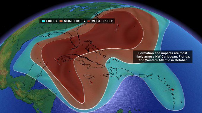
If there’s a theme to October storms, it’s that many originate from the same place.
As the calendar marches into fall, the jet stream begins to sink south, leading to increased wind shear in much of the tropical Atlantic.
One area that continues to see conditions ripe for tropical cyclones is the Caribbean, the birthplace for many of these cyclones.