


A shift in the weather pattern brought the rainfall necessary to prevent the drought from expanding in Florida.
The lack of rainfall in February took its toll across the region. The Orlando International Airport only recorded 0.7 inches of rainfall, which is 1.33 inches below the average.
But things changed in the last week.
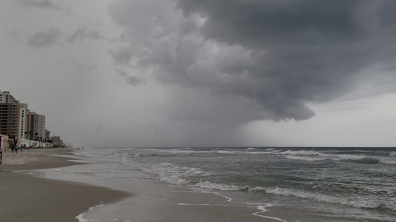
A more active weather pattern developed across the sunshine state, creating more showers and storms. This provided beneficial rainfall to the area.
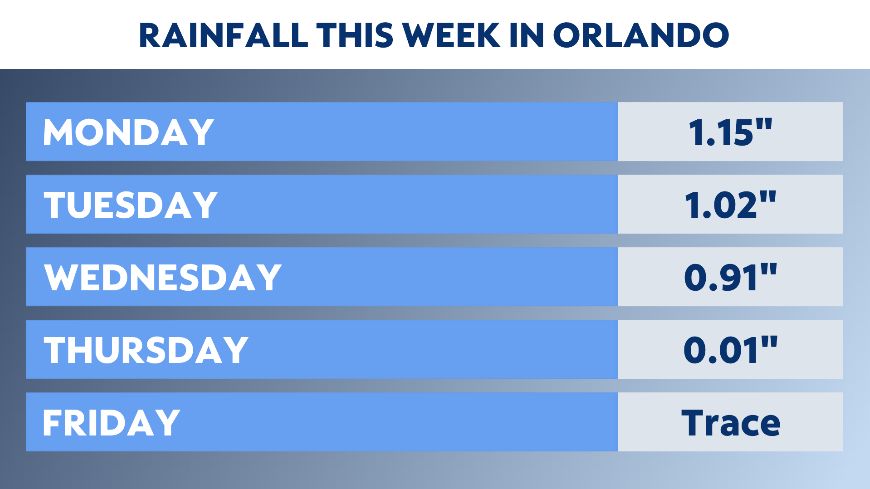
In the last week, Orlando has received 3.09 inches of rain. This is over two inches above average for early March.
Both Monday and Tuesday featured daily rain totals above one inch.
This rainfall helped to stop the expansion of the drought.
The latest Drought Monitor from the National Drought Mitigation Center has most of western Florida in a moderate drought.
The drought was expanding rapidly in the last two weeks. The moderate drought had pushed into the metro Orlando area just in the last 10 days.
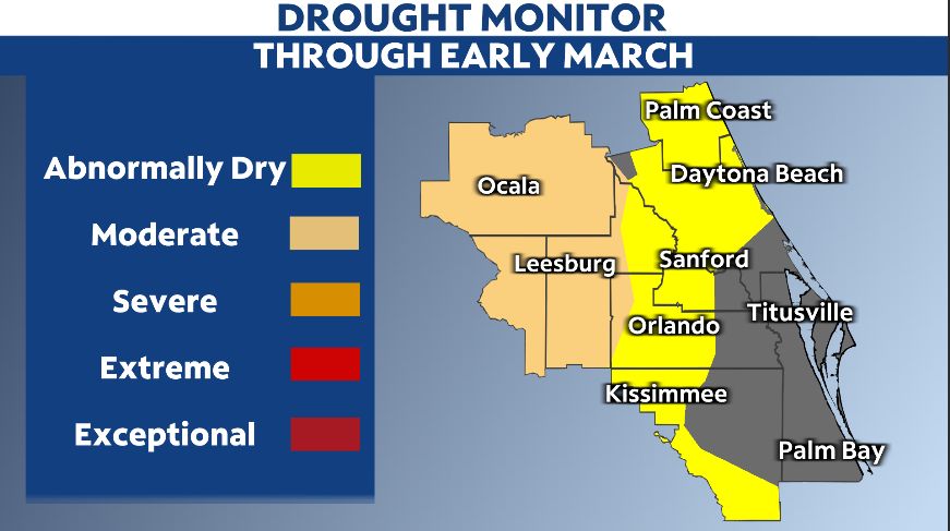
Moderate drought conditions were unable to push eastward in this week's update, partially due to the recent rainfall.
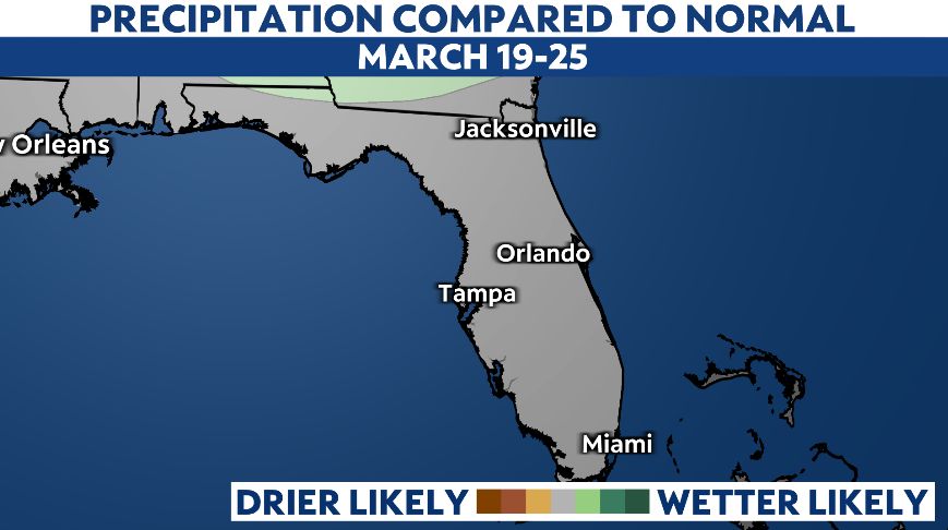
While the weather pattern may be less active next week, there are some indications more rain is ahead.
The latest 8 to 14 day forecast from the Climate Prediction Center predicts average rainfall for mid to late March.
The average rainfall in this period is around 0.74 inches. Even though this isn't a ton of rain compared to last week, it would still be beneficial and might keep the drought conditions from expanding further.
So while drought conditions are now in the region, at least the recent rain helped suppress drought conditions from becoming worse.