


TAMPA, FLA. --The scattered showers and a few storms will taper off Sunday evening.
- Sunday's highs at 86 degrees
- SEE BELOW: See our 7-day forecast
Storms will be pushing west into the Gulf and ending.
It will be a muggy night with low temperatures again in the upper 60s to low 70s. There may be a few showers overnight.
Monday morning looks a little drier. Showers and storms will develop mainly in the afternoon. The rain chance is 60 percent Monday.
Storms will likely move toward the Gulf coast in the evening. Temperatures will stay in the mid 80s.
On Tuesday, we may see more sun, so temperatures will be higher. There will be some showers and storms in the afternoon to evening.
- Klystron 9 | 7-Day forecast | Tampa Bay-area temperatures | Travel weather
- WEATHER ON THE GO: Download the Spectrum Bay News 9 app and get Klystron 9 alerts wherever you are.
- GET WEATHER ALERTS: Sign up to receive weather text alerts from Spectrum Bay News 9
The coverage will drop slightly, but a sea breeze could enhance the thunderstorms near the coast.
On Wednesday, the rain chances will drop a little more. But there will still be a chance of storms in the afternoon.
Thursday will bring some storms for the afternoon, but less than what we have seen lately.
Highs will be in the upper 80s Wednesday and Thursday, with morning lows will be in the low to mid 70s.
Rain chances will continue each day into next weekend, as the stream of moisture from the tropics continues overhead.
View: Bay News 9 Interactive Radar
- LIVE interactive Klystron 9 map
- Custom Safety Net storm alerts
- LIVE interactive Real Time traffic
- Upload pictures to Bay News 9 from the app

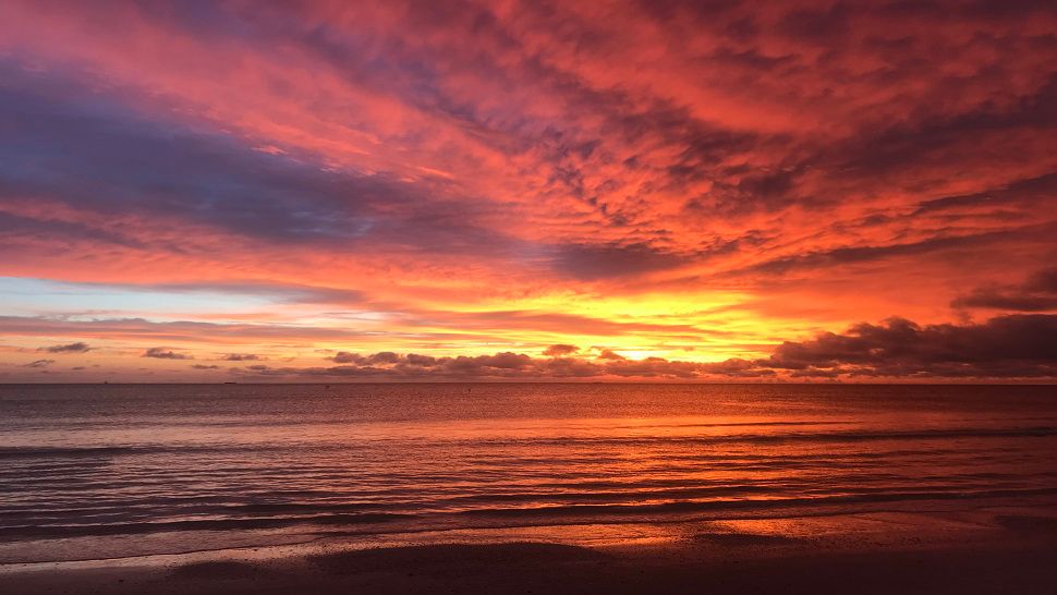
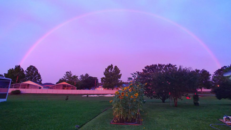
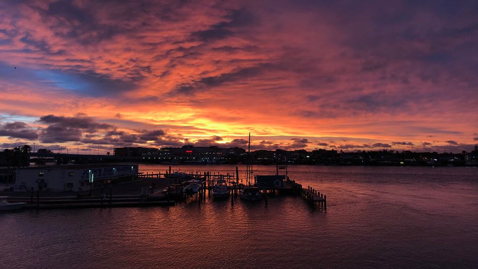
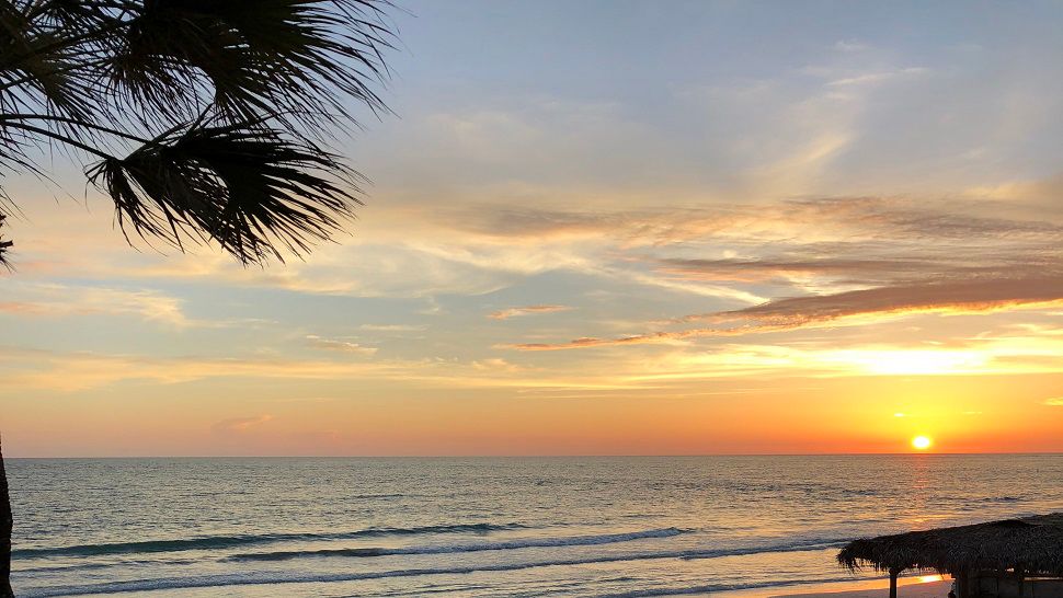
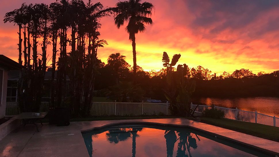
Have a weather picture you would like to send to us? Use the Spectrum Bay News 9 app.