


ST. PETERSBURG, Fla. -- Here's your Tampa area weather forecast for late Wednesday into Thursday morning, along with a preview of conditions this weekend.
- Lingering moisture
- Lower weekend rain chance
- Pattern change possible next week
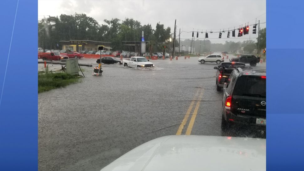
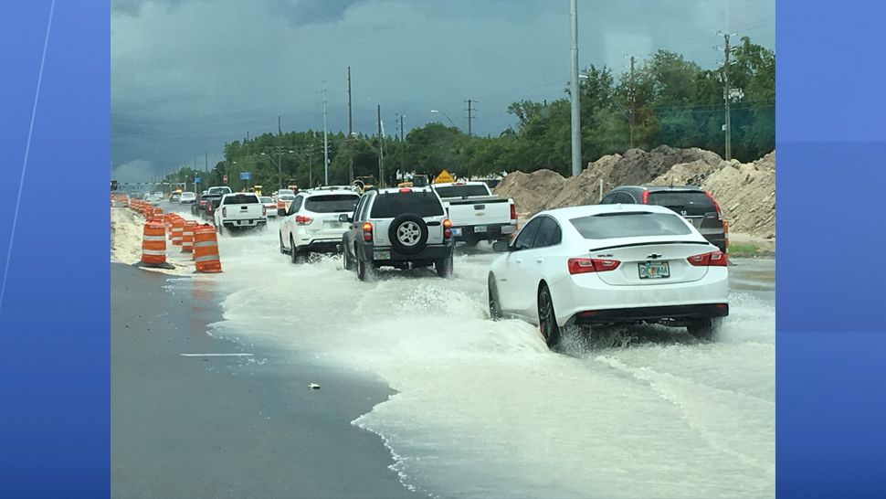
The moisture came streaming back into the area today, as expected. Most of the showers and storms moved through earlier in the day, but we’ll still have a chance for a few lingering sprinkles and showers into Thursday morning.
Otherwise, expect partly to variably cloudy skies with lows in the low to mid 70s.
- Klystron 9 | 7-Day forecast | Tampa Bay-area temperatures | Travel weather
- WEATHER ON THE GO: Download the Spectrum Bay News 9 app and get Klystron 9 alerts wherever you are.
- GET WEATHER ALERTS: Sign up to receive weather text alerts from Spectrum Bay News 9
Thursday will return to partly sunny skies, but there will still be lots of available moisture to produced scattered showers and storms. Highs will be in the upper 80s.
Most of the storms will die down by the evening, with partly cloudy skies overnight into early Friday morning. Lows will be in the mid 70s.
This weekend will feature lower rain chances and hotter temperatures as a result, with highs back to the low 90s.
View: Bay News 9 Interactive Radar
- LIVE interactive Klystron 9 map
- Custom Safety Net storm alerts
- LIVE interactive Real Time traffic
- Upload pictures to Bay News 9 from the app
The seven-day forecast
