


ST. PETERSBURG, Fla. — Here's your Tampa area weather forecast for late Wednesday into Thursday morning, along with a look at conditions through the weekend.
- Onshore breeze
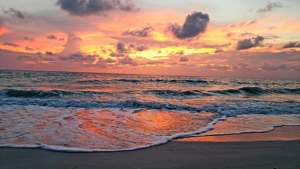
- Rip currents
- Weekend pattern change
- SEE BELOW: See our 7-day forecast ▼
Scattered showers and storms will continue moving in from the gulf from time to time with the onshore wind continuing into Thursday morning.
Otherwise, expect partly cloudy skies between now and sunrise, with lows in the mid 70s inland and near 80 at the coast.
The best coverage of showers and storms will be during the first half of the day Thursday. They will all have an eastward movement, with most of them ending up on the other side of the state by late in the day.
Highs will be in the upper 80s near the coast and low 90s inland. The rip current risk remains at the beach due to the continued onshore wind. That will change this weekend.
This will be the last day of this current pattern. Friday will be the transition day when things start to change.
- WEATHER ON THE GO: Download the Spectrum Bay News 9 app and get Klystron 9 alerts wherever you are.
- GET WEATHER ALERTS: Sign up to receive weather text alerts from Spectrum Bay News 9
- Klystron 9 | 7-Day forecast | Tampa Bay-area temperatures | Travel weather
Instead of showers and storms coming in from the gulf in the morning, they will start later on Friday, with most of them popping up from midday onward and drifting inland.
Highs will be in the low 90s.
This weekend will return to our more typical pattern of mainly afternoon to evening scattered storms.
That, however, means it will be sunnier and hotter, with highs in the low to mid 90s before the storms start each day. The storms will have random movements and move much slower than they have been this week.
So although the coverage will go down slightly, the amounts will be much higher if you get under one of the storms.
