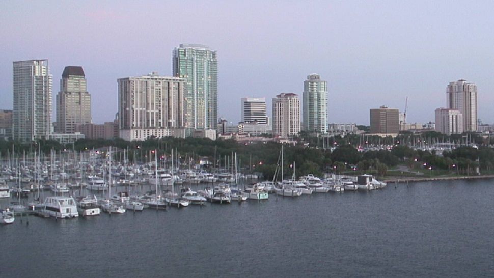
ST. PETERSBURG, Fla. -- The scattered storms have moved off to the west into the Gulf.
- Limited storm coverage
- Shifting winds
- Late week moisture increase
The scattered storms have moved off to the west into the Gulf. We'll have a few isolated showers but otherwise skies will clear overnight into early Tuesday morning with a breeze from the east.
Morning lows will be in the low to mid 70s, except for at the beach where it will be in the upper 70s.
Tuesday will start with sunny skies, then go partly cloudy in the afternoon. Winds will again be from the east to begin with.
The difference is we'll get a stronger sea breeze in the afternoon which will result in a slightly better coverage of scattered storms in the afternoon to evening. The coverage will be at about 30 percent.
Before the storms pop up it will be another hot afternoon with highs in the mid-90s.
The storms will die down with partly cloudy skies in the evening.
Lows will be in the mid 70s
- WEATHER ON THE GO: Download the Spectrum Bay News 9 app and get Klystron 9 alerts wherever you are.
- GET WEATHER ALERTS: Sign up to receive weather text alerts from Spectrum Bay News 9
- Klystron 9 | 7-Day forecast | Tampa Bay-area temperatures | Travel weather
Wednesday will feature more moisture in the atmosphere, therefore resulting in a better coverage of scattered storms in the afternoon at about 40 percent.
Before they form skies will go from mostly sunny to partly cloudy with highs in the low to mid 90s.
Atmospheric moisture will increase this weekend resulting in a better coverage of scattered storms and the coverage therefore increasing to 50 percent.
7-day forecast


