


ST. PETERSBURG, Fla. — Here's your Tampa area weather forecast for late Thursday into Friday morning, along with a detailed look at weekend conditions.
- PM thunderstorms
- Westward movement to storms
- No cold front yet
- CURRENT CONDITIONS: County-by-county temperatures, rainfall totals, 'feels-like' temperatures
We’re now in that wind pattern that comes from the Atlantic across the state and out toward the Gulf of Mexico.
In this pattern it gets hotter during the day on our side of the state, since our sea breeze can’t come in from the gulf to help cool us down. However, the thunderstorms also come to our side of the state, with the best coverage in our coastal regions since they all move west.
The good news is that in this pattern the storms tend to cool us down in the evenings and the morning lows are a little lower, dropping into the low to mid 70s.
- WEATHER ON THE GO: Download the Spectrum Bay News 9 app and get Klystron 9 alerts wherever you are.
- GET WEATHER ALERTS: Sign up to receive weather text alerts from Spectrum Bay News 9
- Klystron 9 | 7-Day forecast | Tampa Bay-area temperatures | Travel weather
Friday will start with sunny skies with clouds building in the afternoon. The scattered storms will form and move west toward the gulf again. However, due to slightly drier air, the coverage will be down a bit to 30 percent..
Highs before the storms pass through will be in the low to mid 90s again.
The storms will move out Friday evening, with clearing skies and lows in the low to mid 70s.
Saturday will be similar, with a sunny, quiet morning followed by scattered late day storms moving westward toward the beaches and the gulf.
Highs will be in the low to mid 90s.
That will be the same pattern into Sunday also. The coverage for both weekend days is going to be about 40 to 50 percent.
7-day forecast

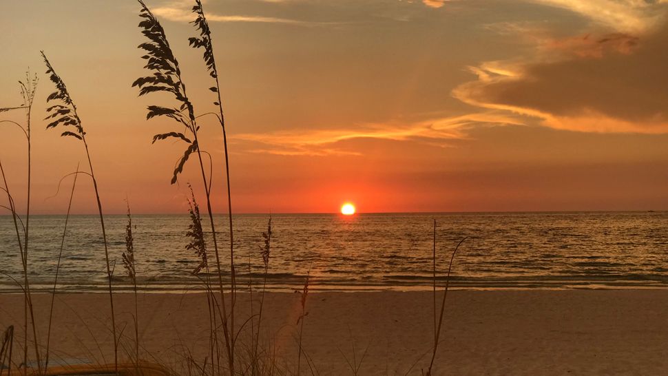
We want your pictures!
Show us what the weather looks like in your neighborhood. Your photo could end up on Spectrum Bay News 9.
- Get the Spectrum Bay News 9 app for iOS or Android
- Tap "Submit Content" at the bottom of the app menu
- Remember to include your name and location