


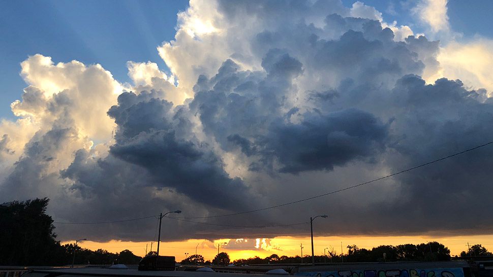
ST. PETERSBURG, Fla. -- Dry air still overhead will continue to limit storm coverage through this evening.
- Storms possible through the evening
- Higher chance of rain Sunday
- Temps to reach mid-90s
A few storms will be possible through the evening.
Overnight will be mostly clear with lows Sunday morning in the 70s.
Sunday will wrap up the weekend with a slightly higher coverage of storms in the afternoon with the rain chance going back up to 40 percent.
With winds becoming slightly southwesterly for areas north of Tampa, there is a small chance of showers early in the day there. Other areas will not see any rain until the afternoon. Highs will be in the mid-90s, under partly cloudy skies.
- WEATHER ON THE GO: Download the Spectrum Bay News 9 app and get Klystron 9 alerts wherever you are.
- GET WEATHER ALERTS: Sign up to receive weather text alerts from Spectrum Bay News 9
- Klystron 9 | 7-Day forecast | Tampa Bay-area temperatures | Travel weather
The rain chance will be 40 percent on Monday. Storms will develop in the afternoon. Light southeast winds will lead to a sea breeze. Highs will be in the low to mid 90s.
For Tuesday, slightly drier air moves briefly overhead. The rain coverage is likely to drop slightly. Storms will develop in the afternoon along the sea breeze. Any storms that form will move slowly though.
Rain chances will ramp up by the end of the week. Winds will shift to southerly and southwesterly, so storms are more likely early in the day along the coast. Storms will develop slowly inland during the afternoon.
At this point, it looks like a decent easterly flow pattern will set up starting next weekend. This could get us into a normal summertime pattern with dry mornings and scattered afternoon to evening storms.
7-day forecast

We want your pictures!
Show us what the weather looks like in your neighborhood. Your photo could end up on Spectrum Bay News 9.
- Get the Spectrum Bay News 9 app for iOS or Android
- Tap "Submit Content" at the bottom of the app menu
- Remember to include your name and location