


ST. PETERSBURG, Fla. — Scattered storms will move west into the Gulf this evening. Then expect clearing skies tonight with lows in the 70s.
- Friday will start with sunny skies
- Highs in low to mid-90s before storms arrive
- Wind pattern shift Sunday
- SEE BELOW: See our 7-day forecast ▼
- CALCULATE: How hot can your vehicle get? ▼
Walking out the door Friday morning will be mostly clear with quiet conditions and a breeze from the east.
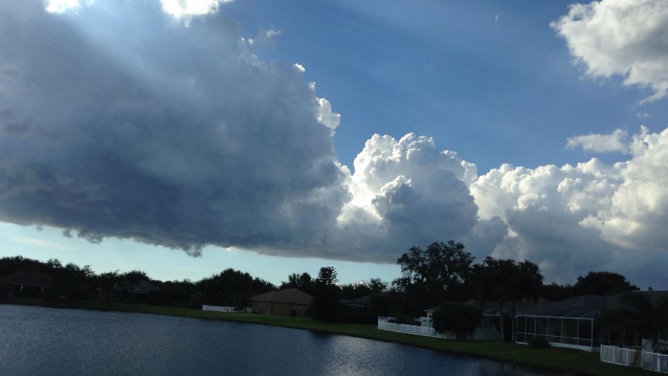
Friday will start with sunny skies for the first half of the day. With a breeze from the east we will again see afternoon scattered storms move into our area. They will all have a westward movement toward the Gulf into the evening. Highs will be in the low to mid 90s before the storms arrive.
Coastal evening storms end then skies will be partly cloudy. Lows will be in the 70s.
Saturday will feature increasing cloud cover with scattered storms developing especially later in the day. Highs will be in the low 90s.
- WEATHER ON THE GO: Download the Spectrum Bay News 9 app and get Klystron 9 alerts wherever you are
- GET WEATHER ALERTS: Sign up to receive weather text alerts from Spectrum Bay News 9
- Klystron 9 | 7-Day forecast | Tampa Bay-area temperatures | Travel weather
Sunday will feature the highest rain chance of the weekend and showers and storms starting earlier in the day near the coast with more cloud cover.
Highs will be lower in the upper 80s.
The wind pattern will shift on Sunday and come from the west, which is why the storms will get an earlier start and there will be more cloud cover. That also means the storms will move eastward.
That pattern will hold in place into early next week.
So expect an earlier start to the showers and storms Monday and Tuesday of next week as they will come in from the gulf during the first half of the day and move eastward to the other side of the state later in the day. Highs will be in the upper 80s.
That onshore wind pattern will start breaking down toward the end of next week.
TROPICS AND BOATING FORECAST
In the tropics things are mainly quiet. Chantal is no big deal as it will have no impact to land and is very weak. It will likely fall apart within the next couple days.
The rest of the Atlantic is very quiet with dry air and below average water temperatures still dominating for now. The Caribbean and Gulf are also quiet, however there is a batch of moisture with an old tropical wave over the Bahamas that we have been discussing. Although it shows no immediate signs of developing it has a small chance that it could once it passes Florida late this weekend into early next week. Regardless, it will not change our weather.
The boating forecast for Friday will start with a breeze from the east at 10 knots, followed by an increasing sea breeze from the north in the late afternoon at 15 knots. Seas will run 2 to 3 feet. Bay and inland waters will have a light chop. Again watch for scattered storms to move west into the gulf in the evening.
7-day forecast

We want your pictures!
Show us what the weather looks like in your neighborhood. Your photo could end up on Spectrum Bay News 9.
- Get the Spectrum Bay News 9 app for iOS or Android
- Tap "Submit Content" at the bottom of the app menu
- Remember to include your name and location