


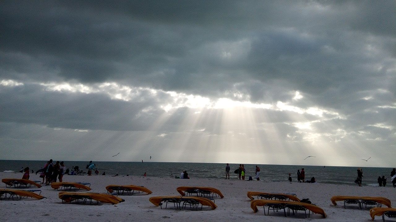
ST. PETERSBURG, Fla. — It was a warm Christmas Day with Tampa hitting 81 degrees, a full 15 degrees warmer than the day before.
- Clouds return overnight
- Lows will be in the upper 50s to low 60s
- Rain chances increase going into the weeked
- SEE BELOW: See our 7-day forecast ▼
Bradenton hit 82 then the sea breeze came through and the temperature quickly dropped into the upper 60s.
Clouds will return overnight keeping our temperatures on the milder side. Overnight lows will range from the upper 50s north to low 60s in Tampa Bay. Some patchy fog is possible.
A warming trend takes over through the remainder of the week. High temperatures will be around 80 degrees each day from Thursday through the weekend.
- WEATHER ON THE GO: Download the Spectrum Bay News 9 app and get Klystron 9 alerts wherever you are
- GET WEATHER ALERTS: Sign up to receive weather text alerts from Spectrum Bay News 9
- Klystron 9 | 7-Day forecast | Tampa Bay-area temperatures | Travel weather
Rain chances start to increase slightly going into the weekend ahead of an approaching cold front. It is certainly not anything to cancel plans over but there will be scattered showers around on Saturday and Sunday.
The next cold front passes through on Monday with additional showers. Temperatures will cool into the 60s and low 70s by Tuesday of next week.
7-day forecast

We want your pictures!
Show us what the weather looks like in your neighborhood. Your photo could end up on Spectrum Bay News 9.
- Get the Spectrum Bay News 9 app for iOS or Android
- Tap "Submit Content" at the bottom of the app menu
- Remember to include your name and location