


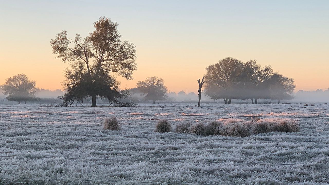
Even though spring officially started late Monday afternoon, it did not feel like it this morning. Much of Central Florida woke up to low temperatures only in the 30s and 40s.
Today was the first morning of spring, but it felt more like winter.

Brooksville got down to freezing, breaking the old record low of 34 degrees set back in 1906.
The whole area woke up to temperatures that were well below normal by about 10 to 20 degrees.
If you're looking for more seasonable temperatures, we will see the 80s return across much of the area for Wednesday afternoon.
A strong cold front came through last weekend, brining temperatures back below average on Sunday and Monday.
However, some clouds and wind hung around through Monday morning, which kept overnight lows from dropping to their full potential. Clouds act as a blanket overnight, trapping some of the heat from the day near the ground.
Last night, skies were clear, winds were light and humidity was low. This was a perfect setup for radiational cooling.
Clear skies allow temperatures to drop because heat can escape quickly from the earth's surface.
It's also easier for the temperature to change drastically when the air is drier, as opposed to when there is more moisture in the air. This is why we see a huge difference in temperatures from morning to afternoon on dry days.
Calm winds prevent warmer air aloft from mixing down to the surface, which keeps temperatures colder near the ground at night.
Our team of meteorologists dives deep into the science of weather and breaks down timely weather data and information. To view more weather and climate stories, check out our weather blogs section.